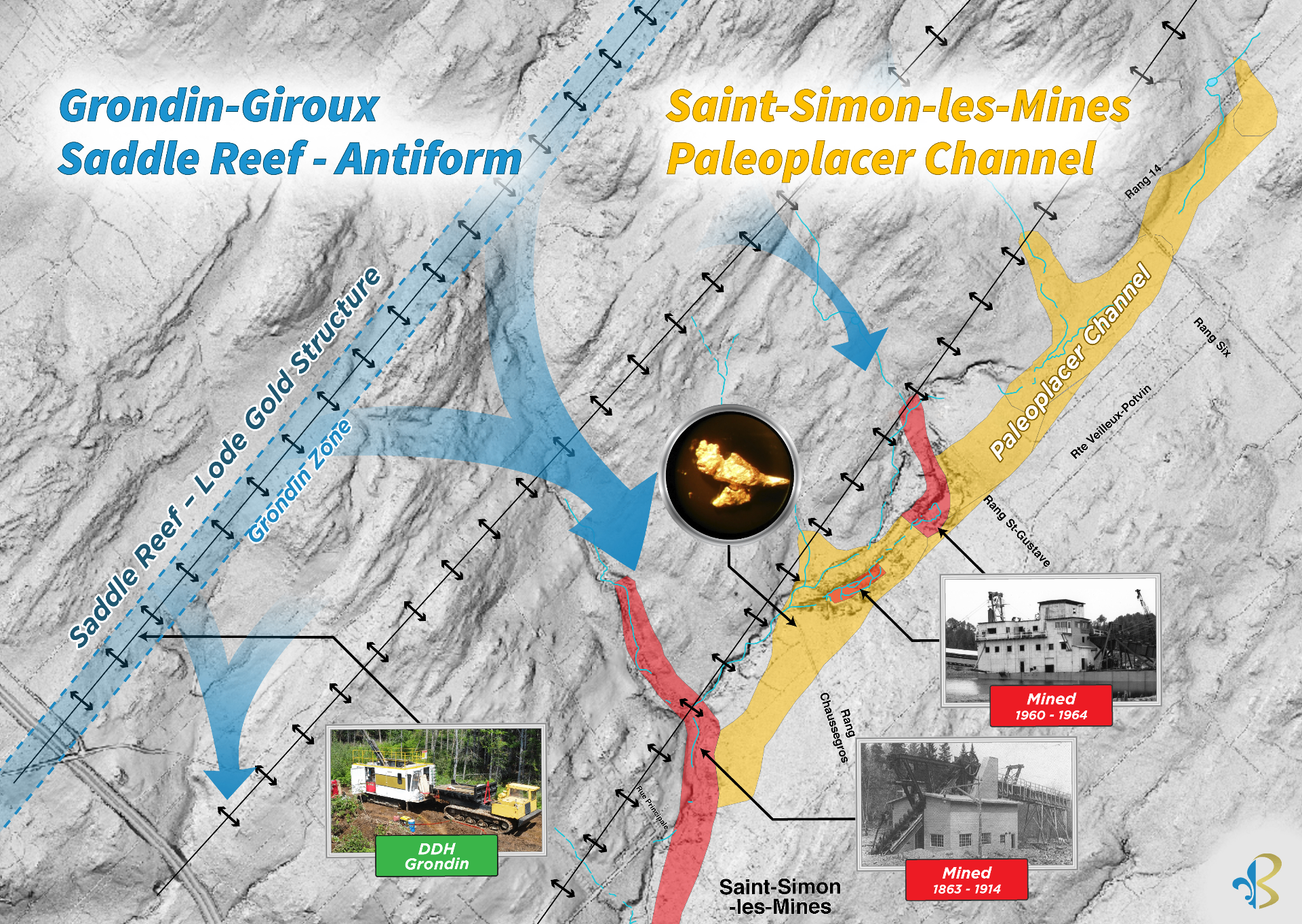
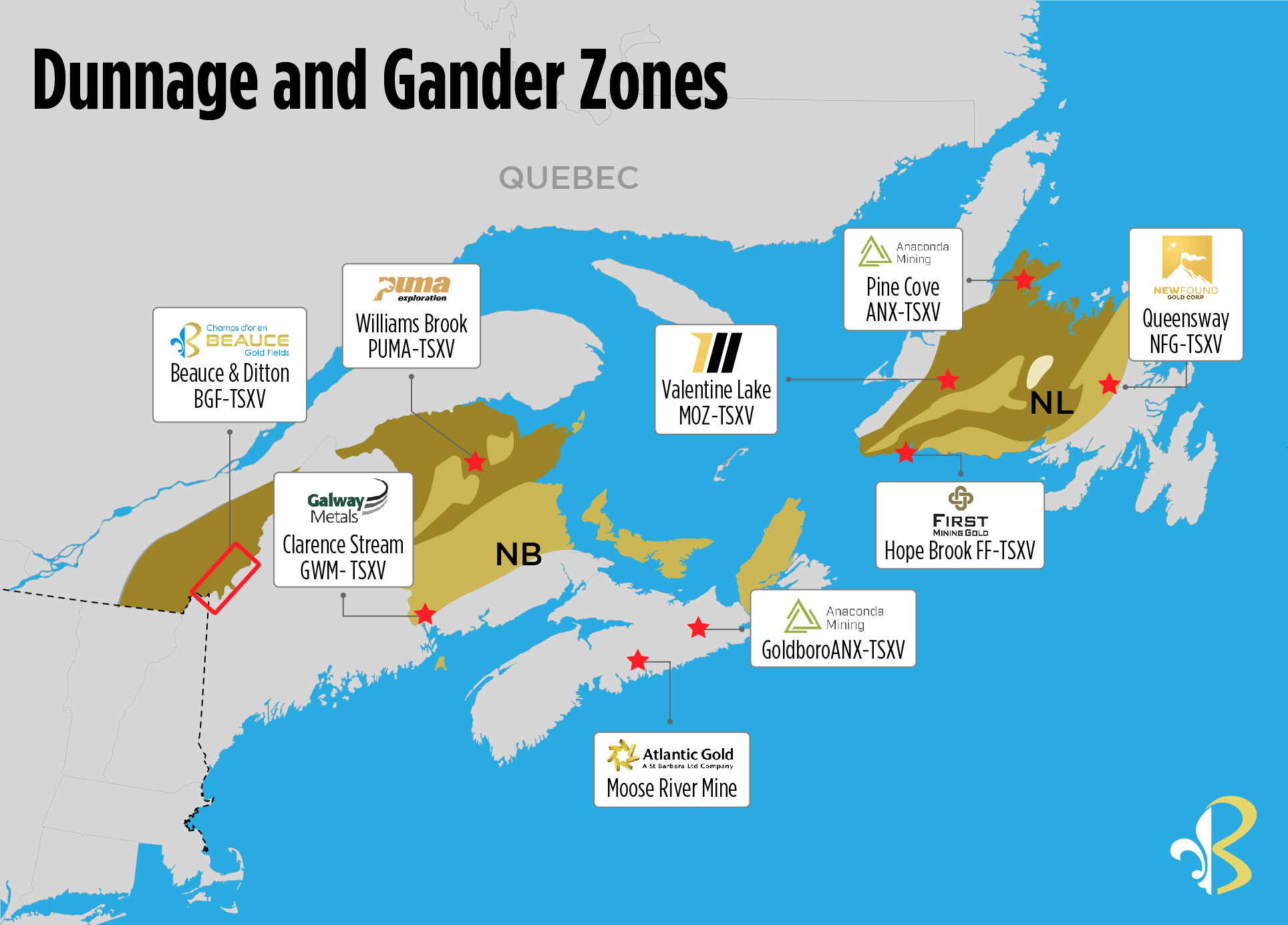
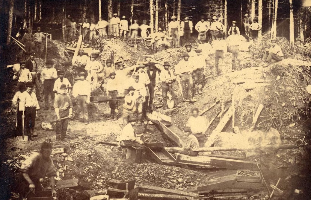
The Saint-Simon-les-Mines paleoplacer channel forms the heart of the historic Beauce Gold district, the site of Canada's first gold rush, which predates the Klondike by nearly 50 years.
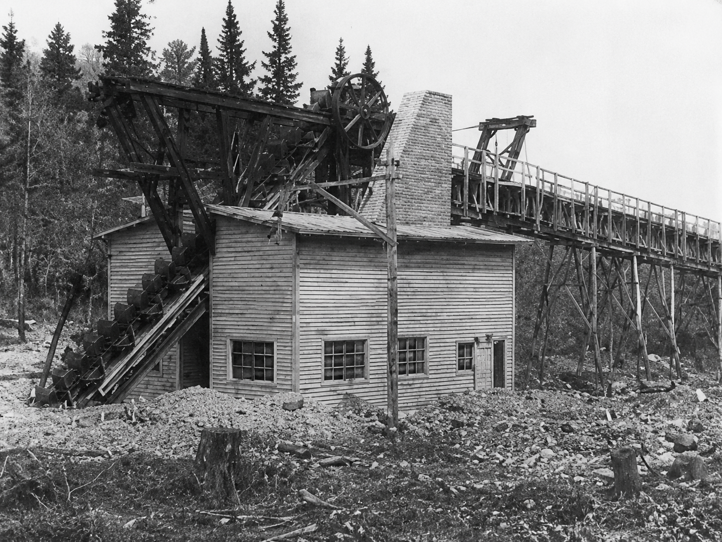
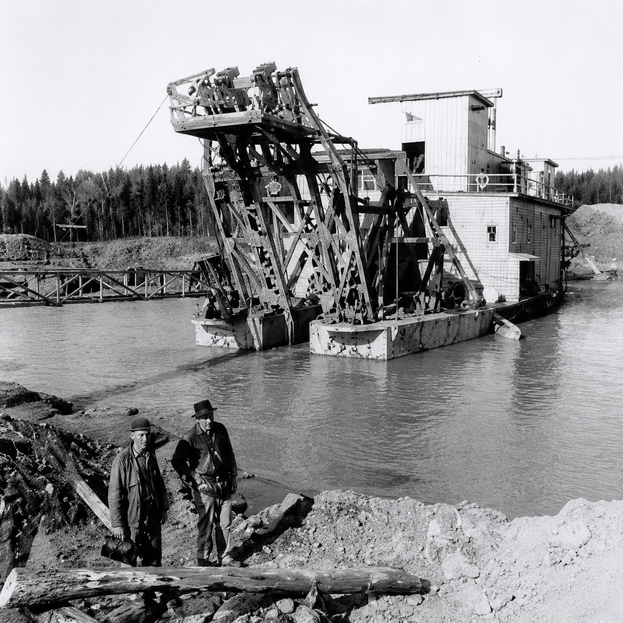
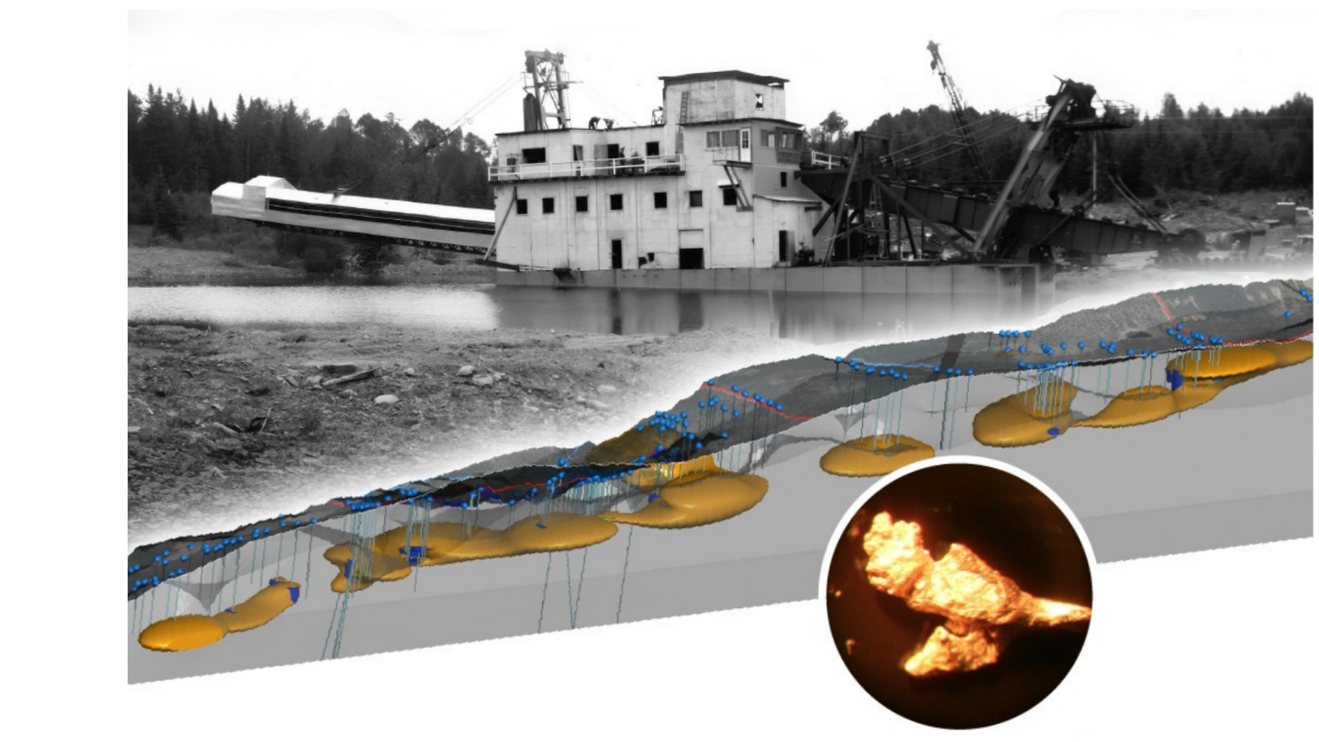
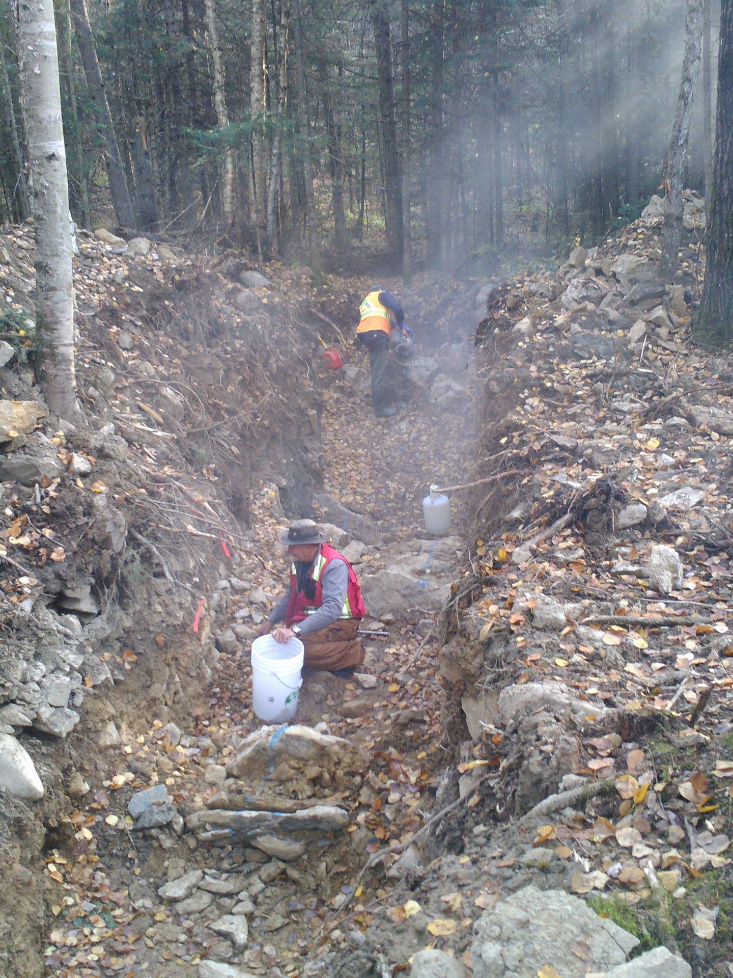
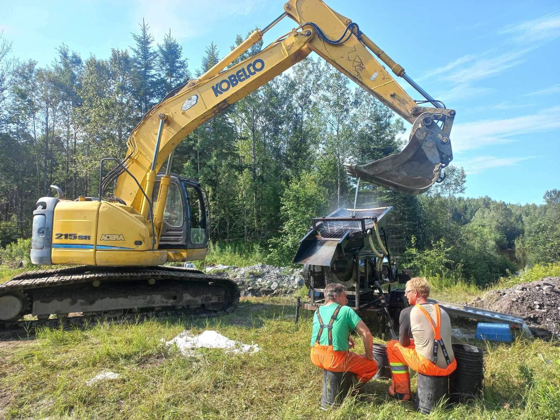
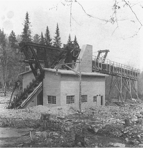
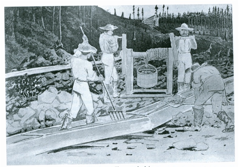
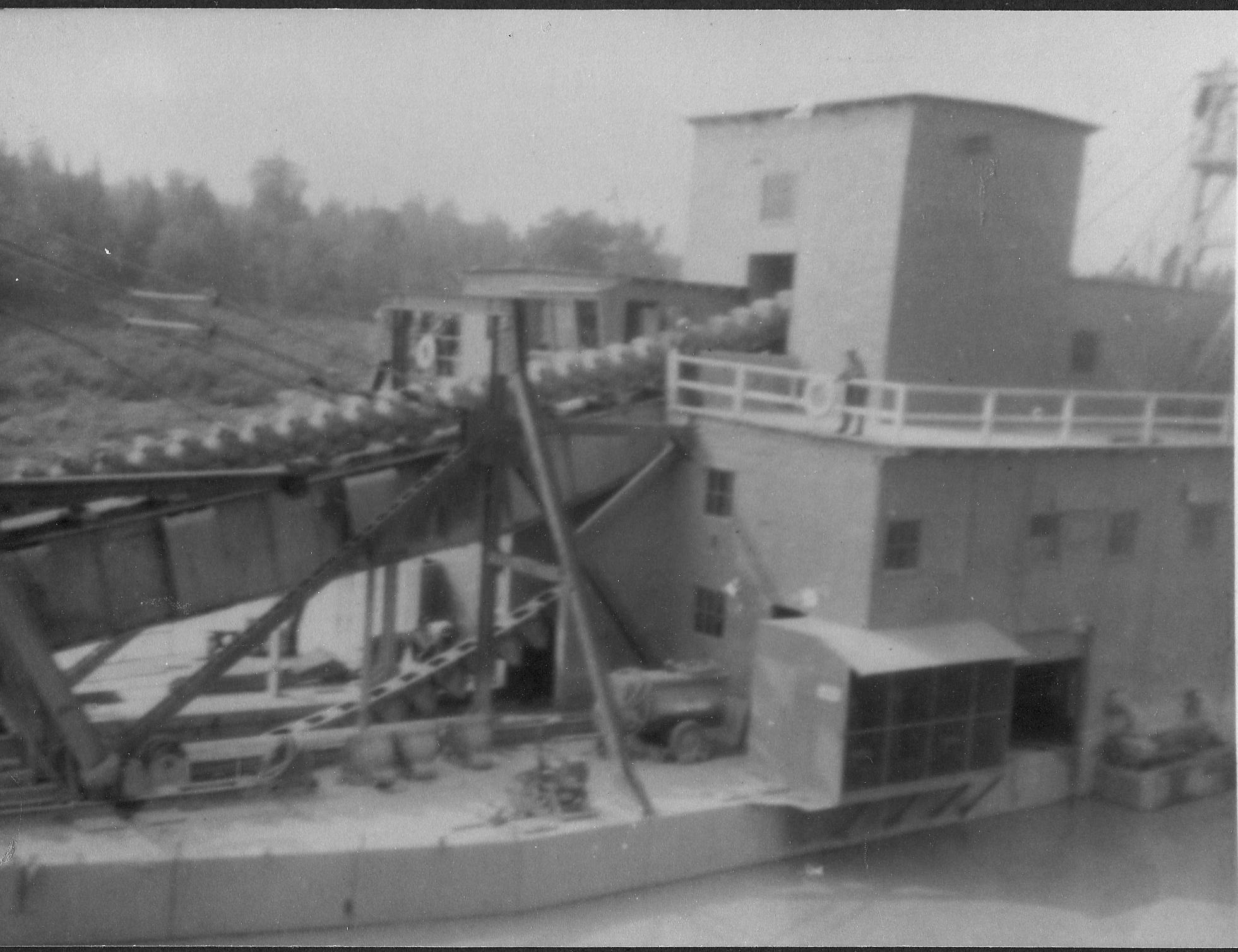
From the 1850s through the early 1900s, placer gold was mined extensively from underground workings and later by large-scale dredging operations during the 1960s. Historical records indicate that the Beauce hosted one of the largest placer gold districts in Eastern North America, producing coarse gold and numerous large nuggets.
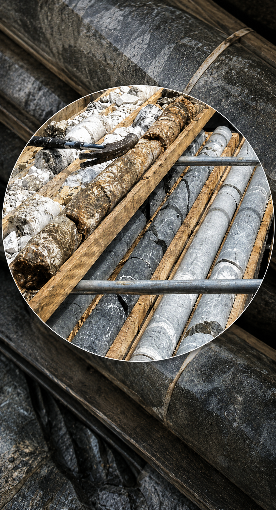
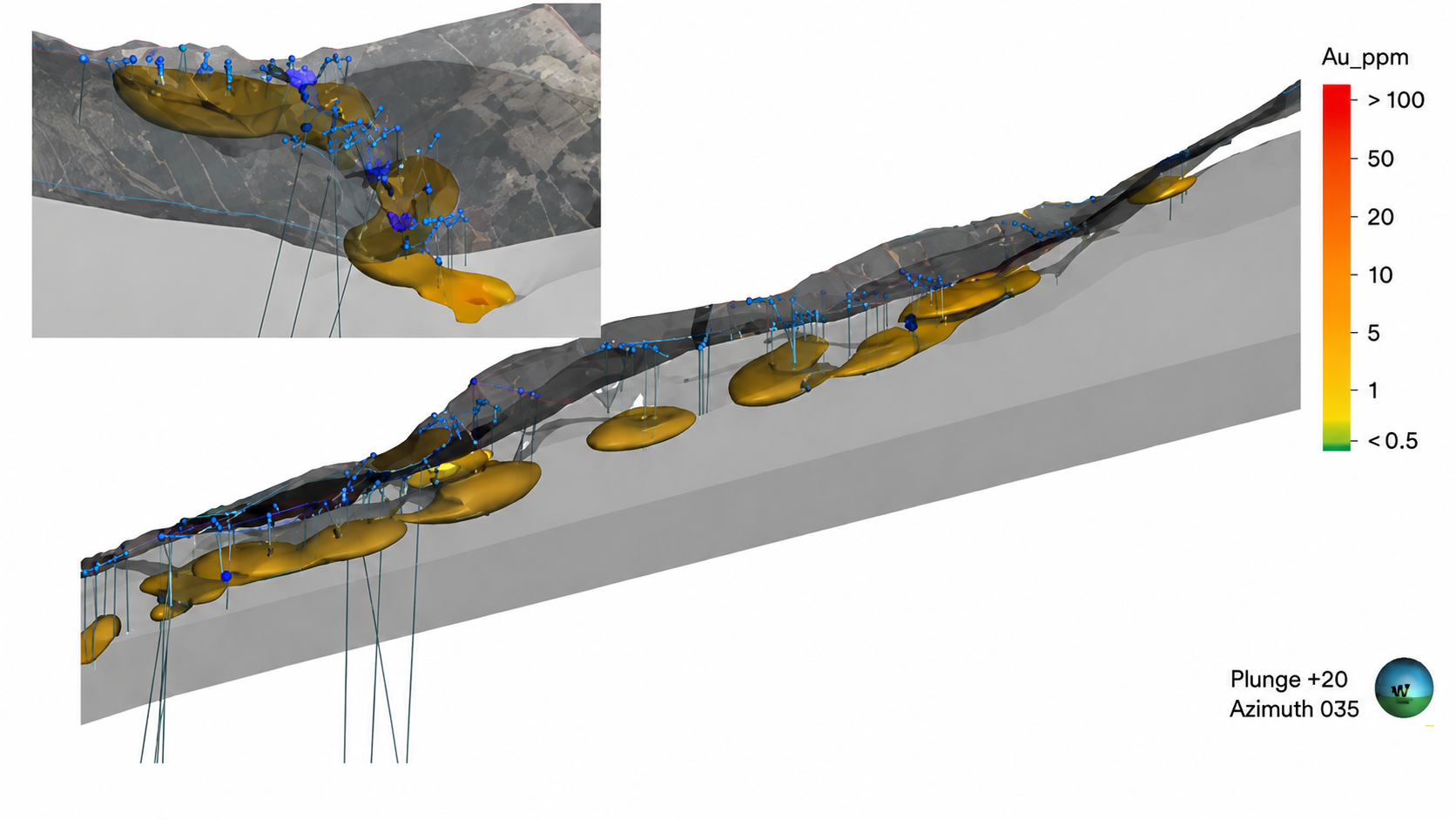
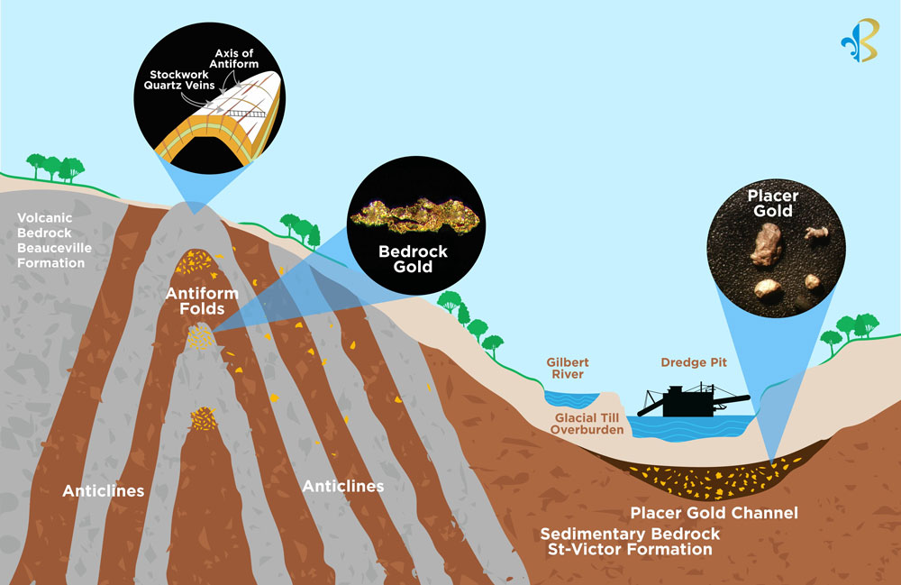
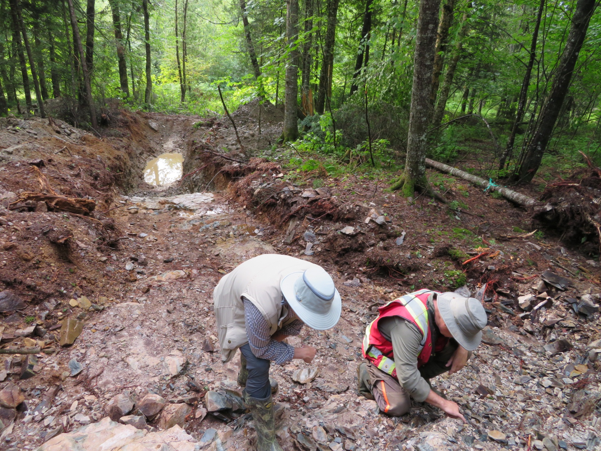
Modern reinterpretation of the district by Beauce Gold Fields suggests the historical mining focused primarily on portions of a much larger auriferous paleoplacer system preserved beneath glacial overburden.
The Company's exploration has identified:
- Auriferous saprolite
- Gold-bearing basal till
- Buried paleochannels
- Bedrock paleovalleys
- Multiple newly interpreted channel extensions
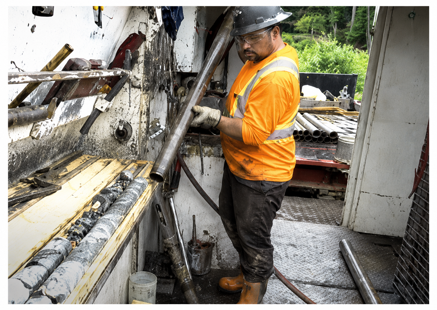
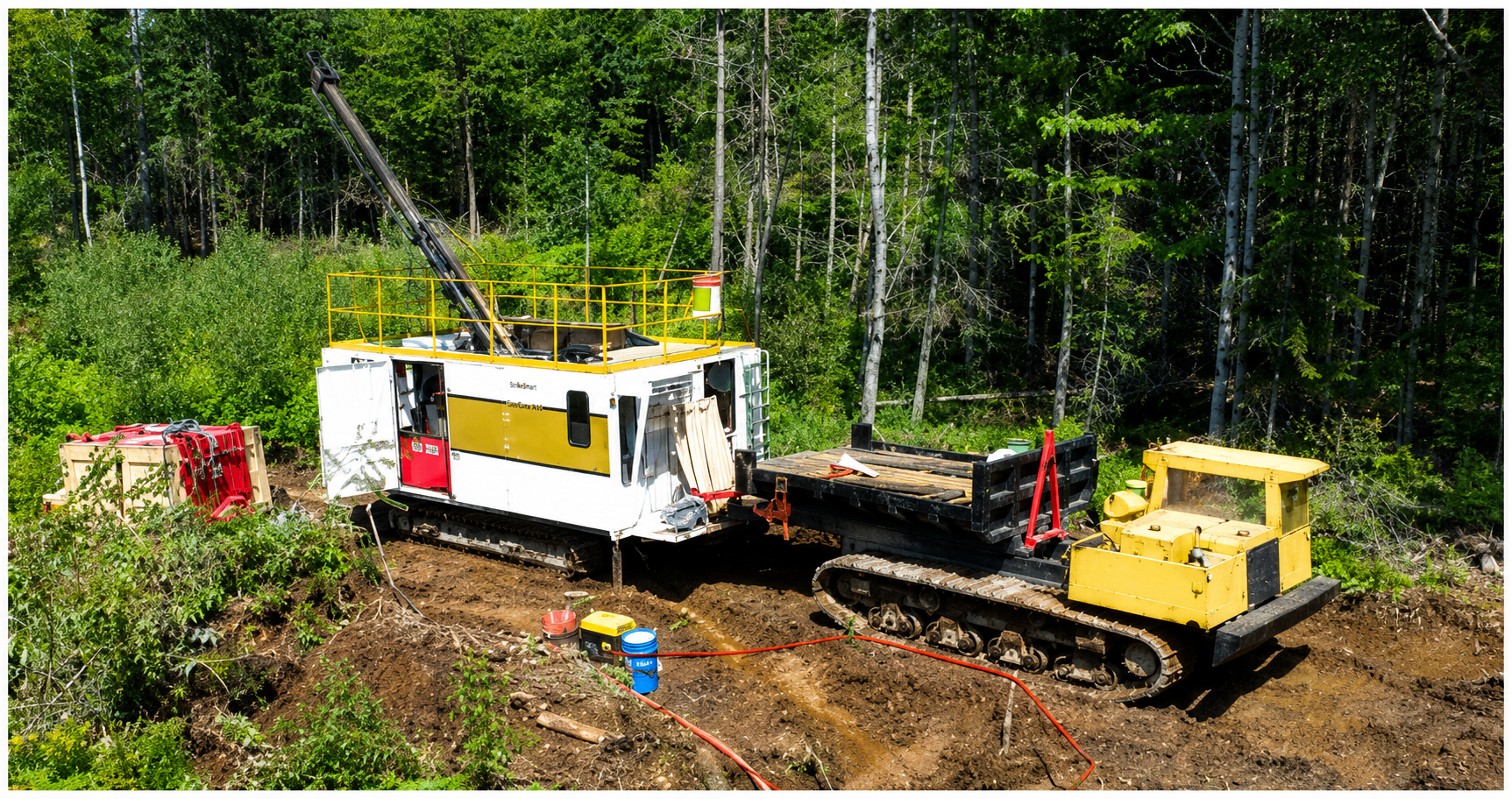
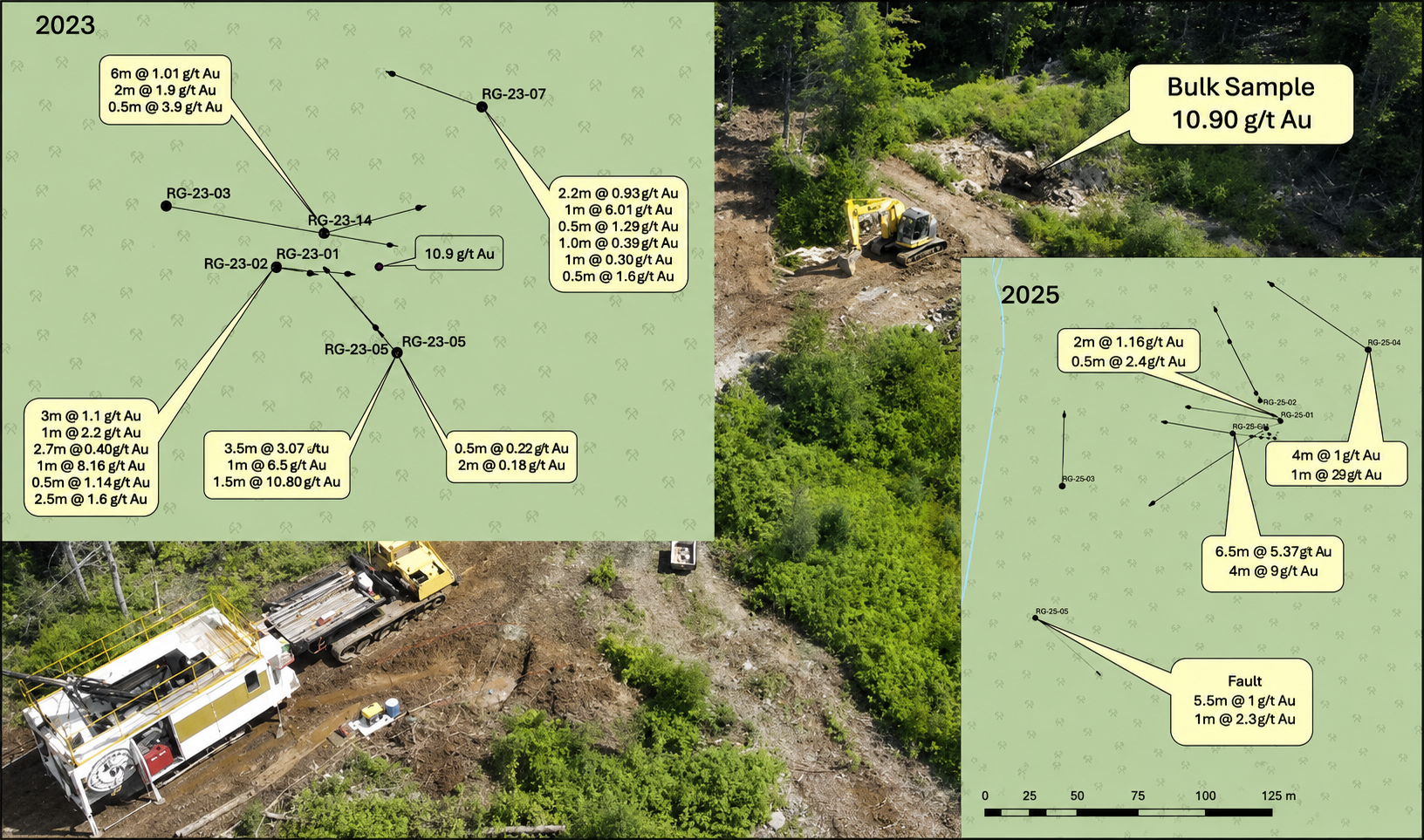
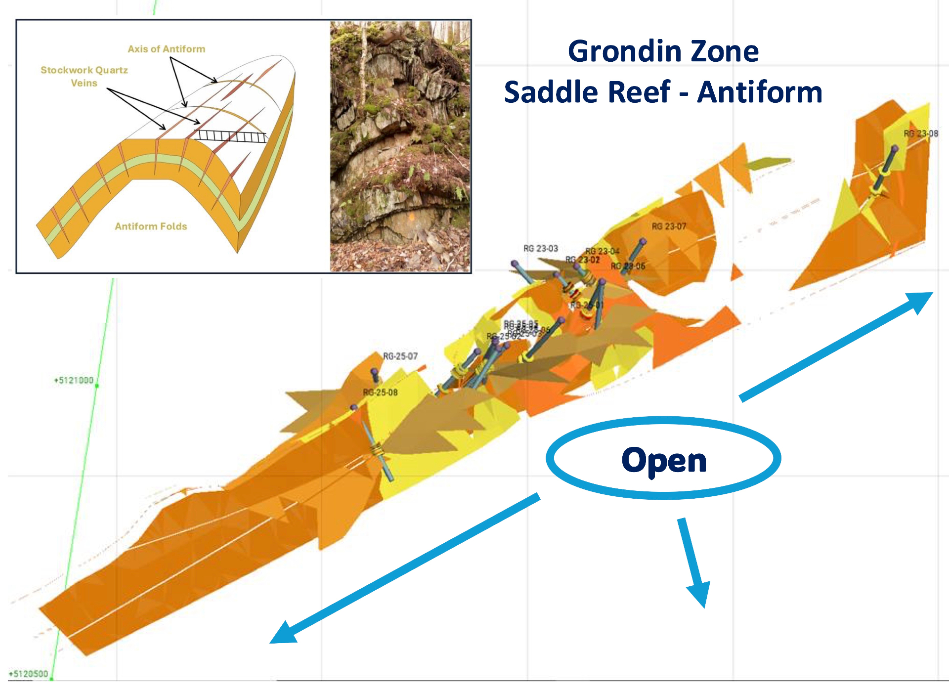
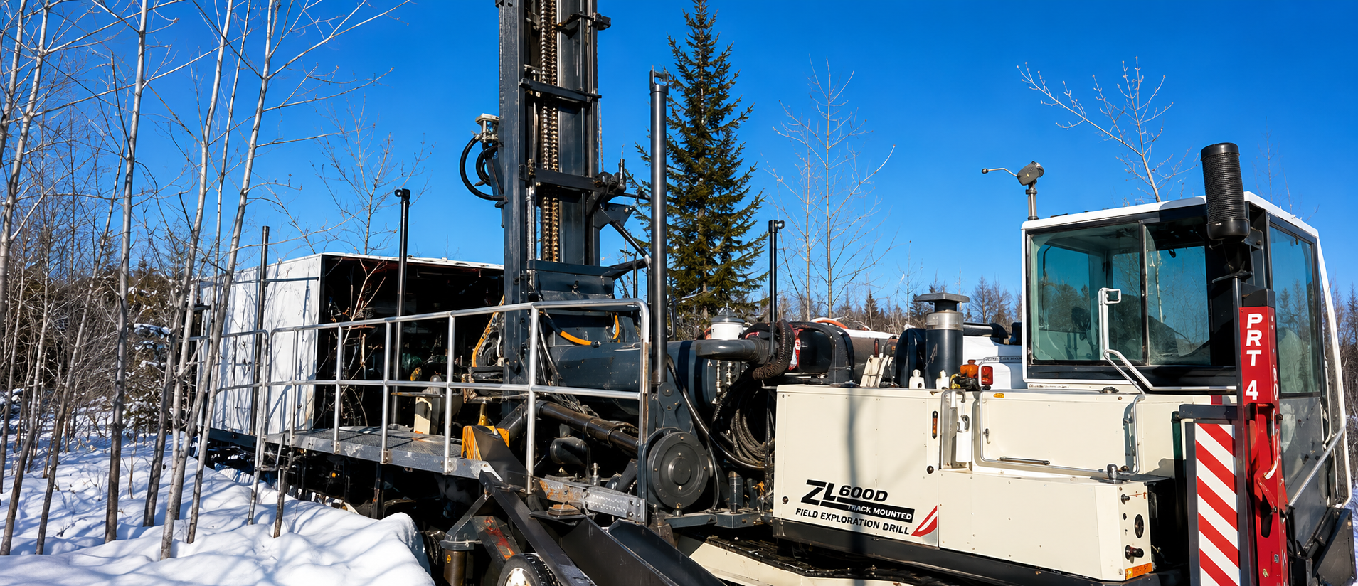
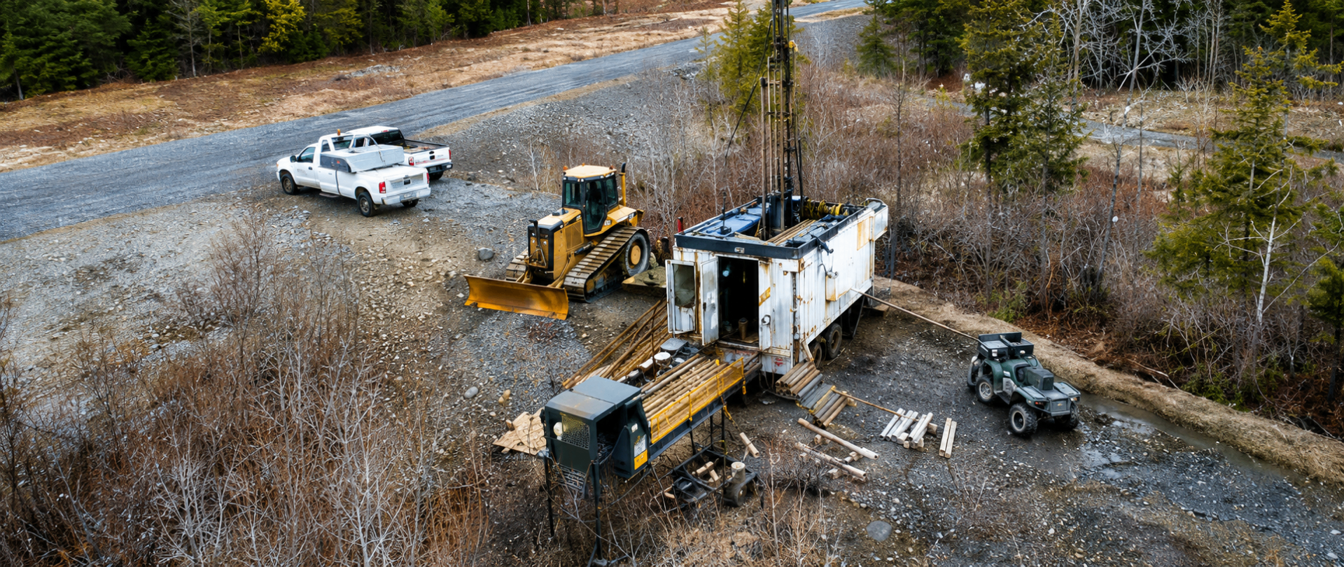
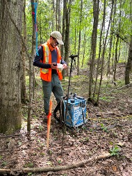
Recent 3D modelling, historical drill-log recovery, seismic interpretation and horizontal directional drilling (HDD) support the concept that the Saint-Simon paleoplacer system remains open laterally and at depth.