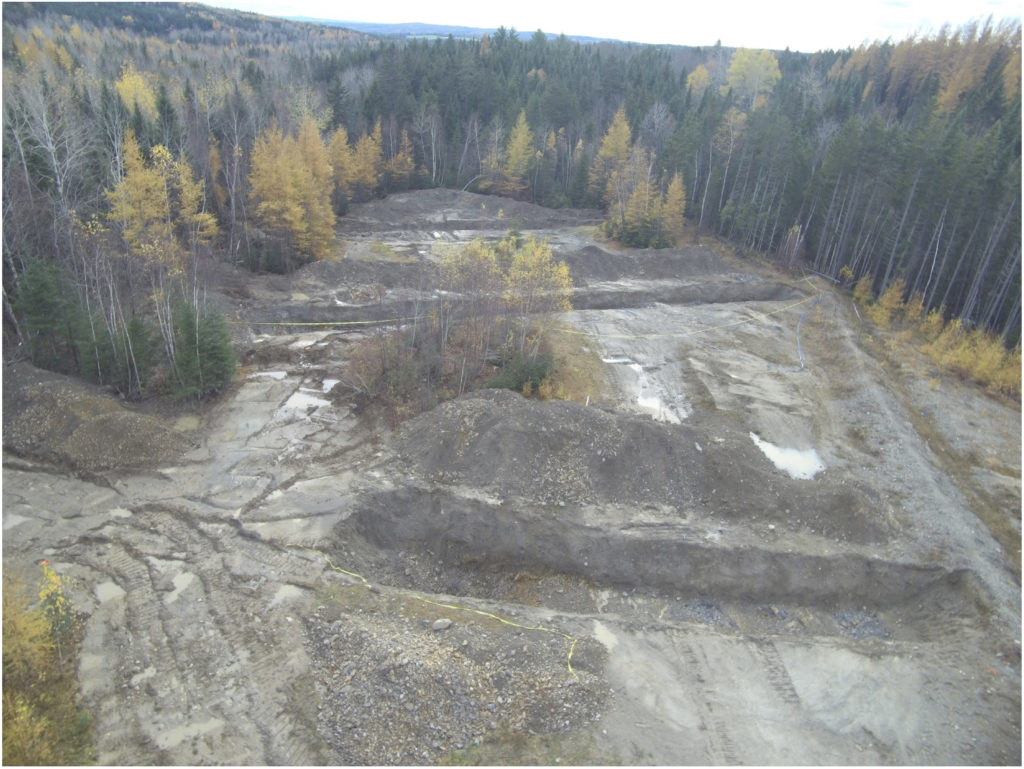
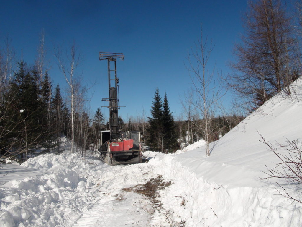
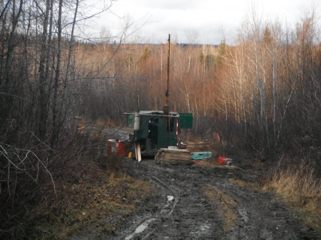
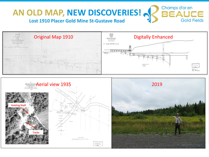
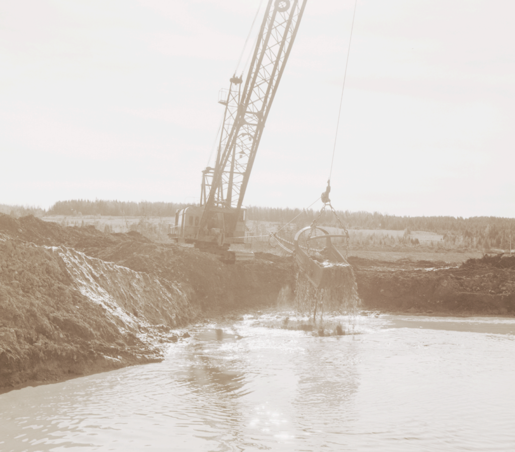
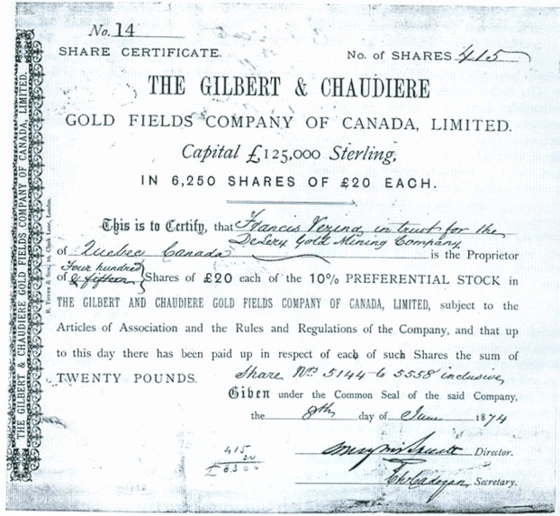
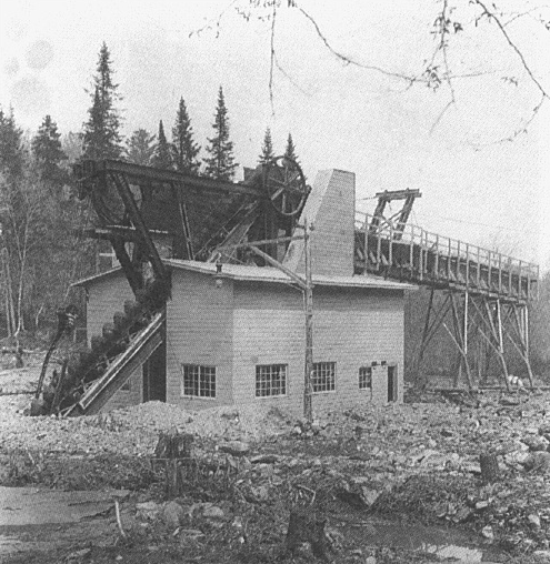
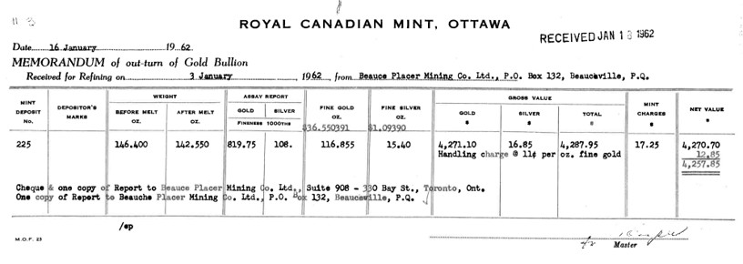
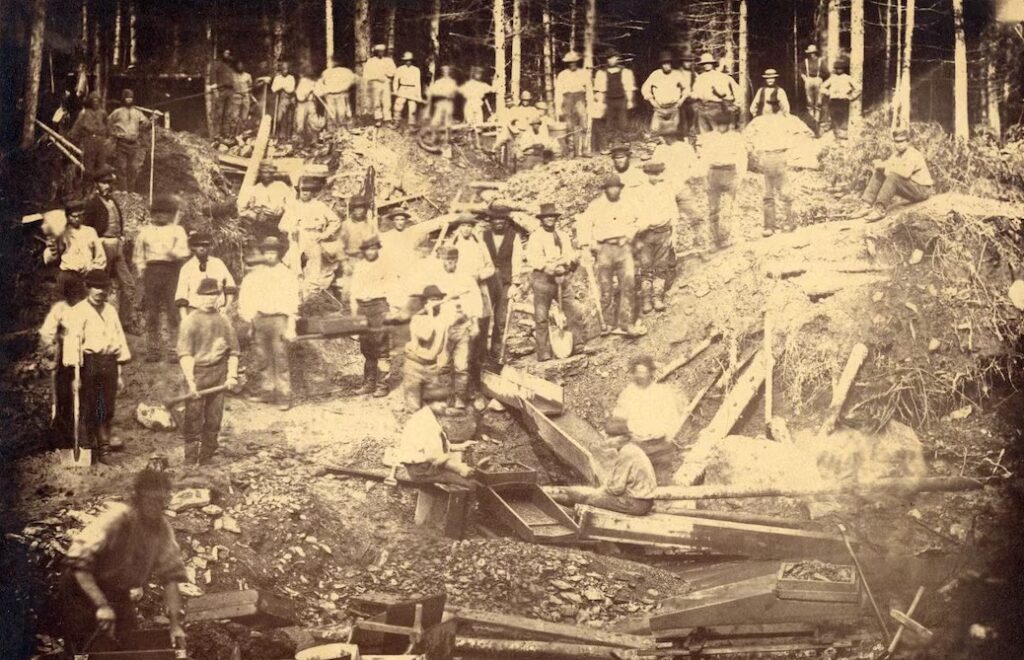
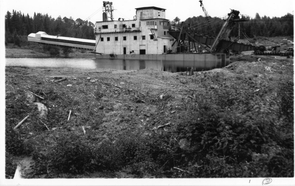
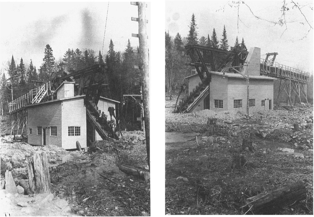
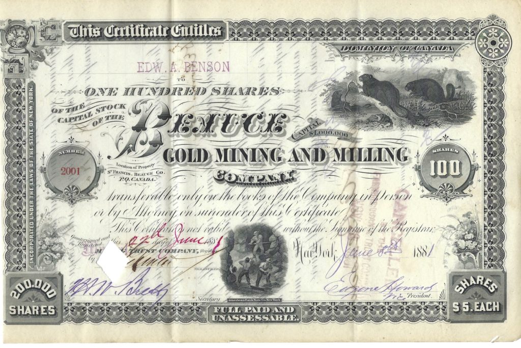
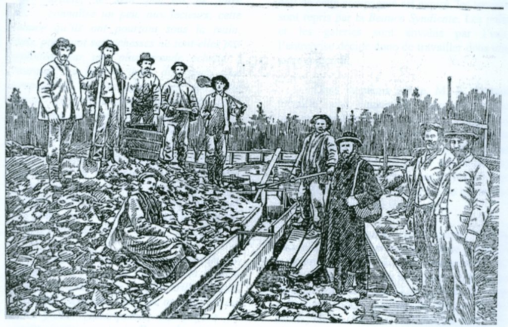
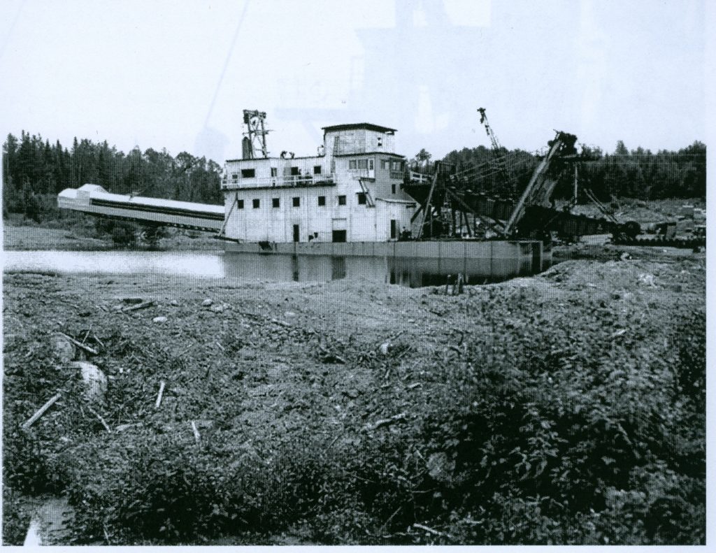
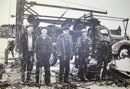
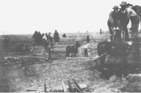
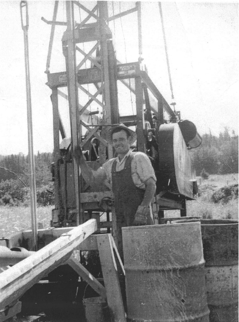
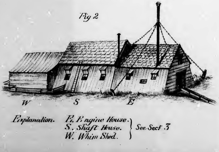
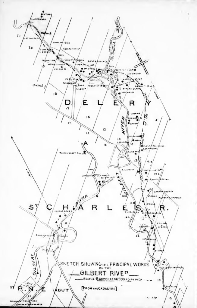
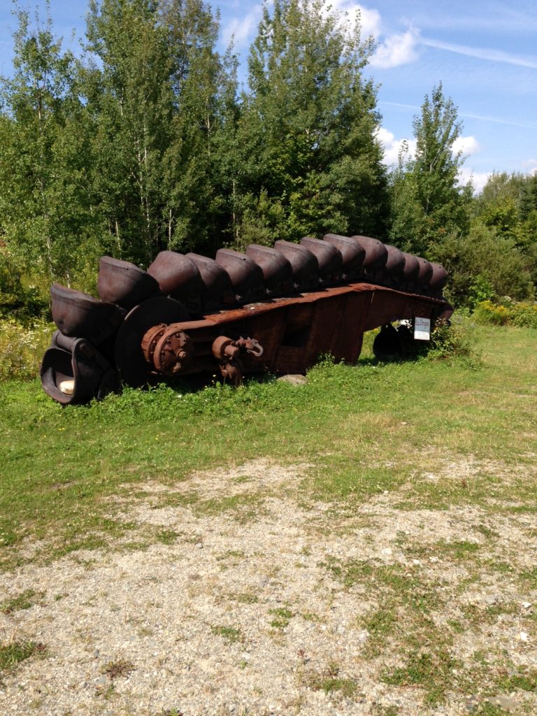
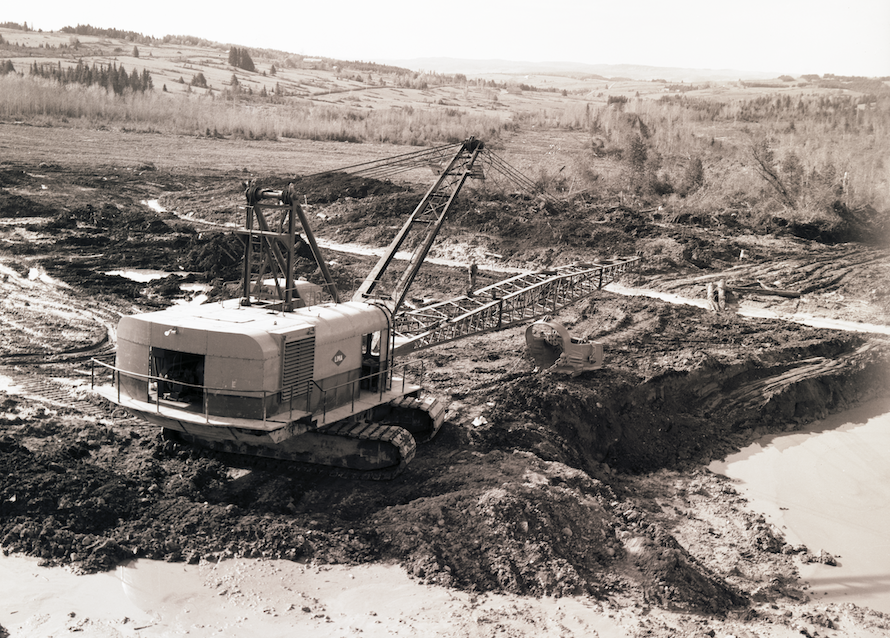
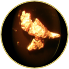
The company’s flagship property is the Beauce Gold Project, located in St-Simon-les-Mines, Quebec. It hosted the largest historical placer gold mine in Eastern North America, active from the 1840s to the 1960s. It is known to have produced some of the largest gold nuggets in Canadian mining history (50 oz to 71 oz).
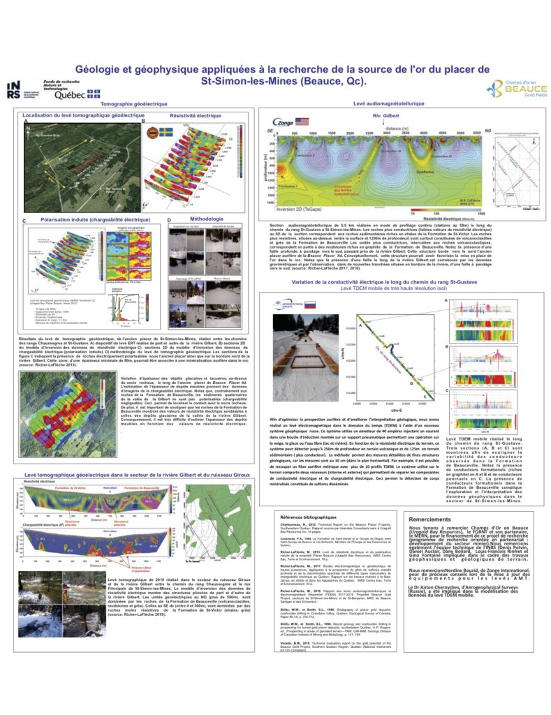
Beauce Gold Fields’ exploration objective is to discover the bedrock (lode gold) sources of the property’s historical placer gold deposits. Recent exploration work discovered antiform Saddle Reef-type structures that are believed to have contributed to the development of the auriferous placer deposits.
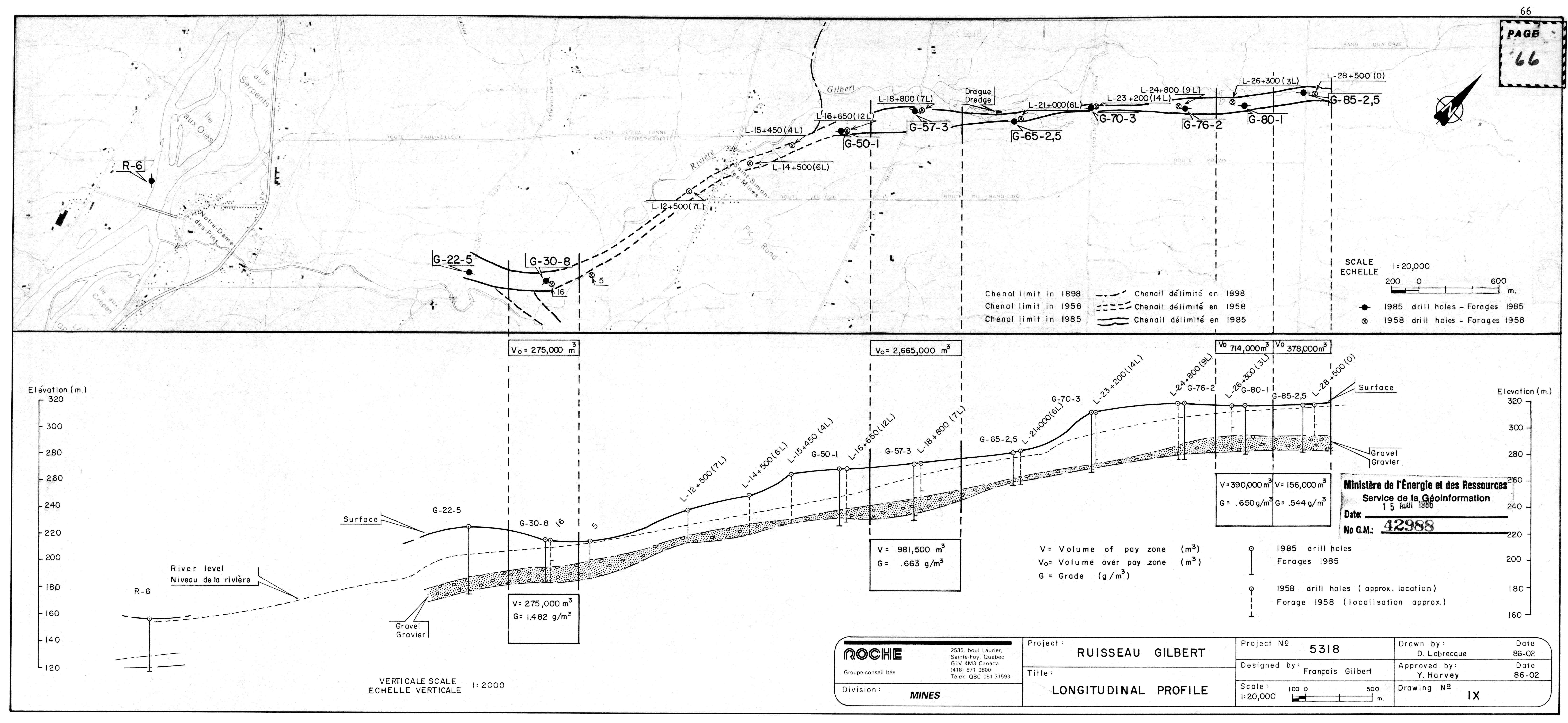
The company’s second objective is to expand upon the historical placer gold deposit and evaluate its potential for placer gold mining. To date, the property holds a Gold Exploration Target for the entire historical placer channel, ranging between 61,000 ounces (2,200,000 m³ @ 0.87 g Au/m³) and 366,000 ounces (2,200,000 m³ @ 5.22 g Au/m³).
Location
The property is located near the towns Beauceville and Saint-Simon-les-Mines in the Beauce region, approximately a one-hour drive south of Quebec City and 15 km north of Saint-Georges de Beauce. It is accessible year-round via paved and gravel roads.

Geology
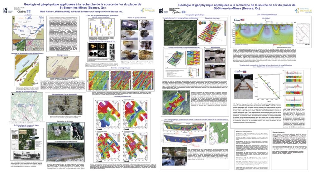
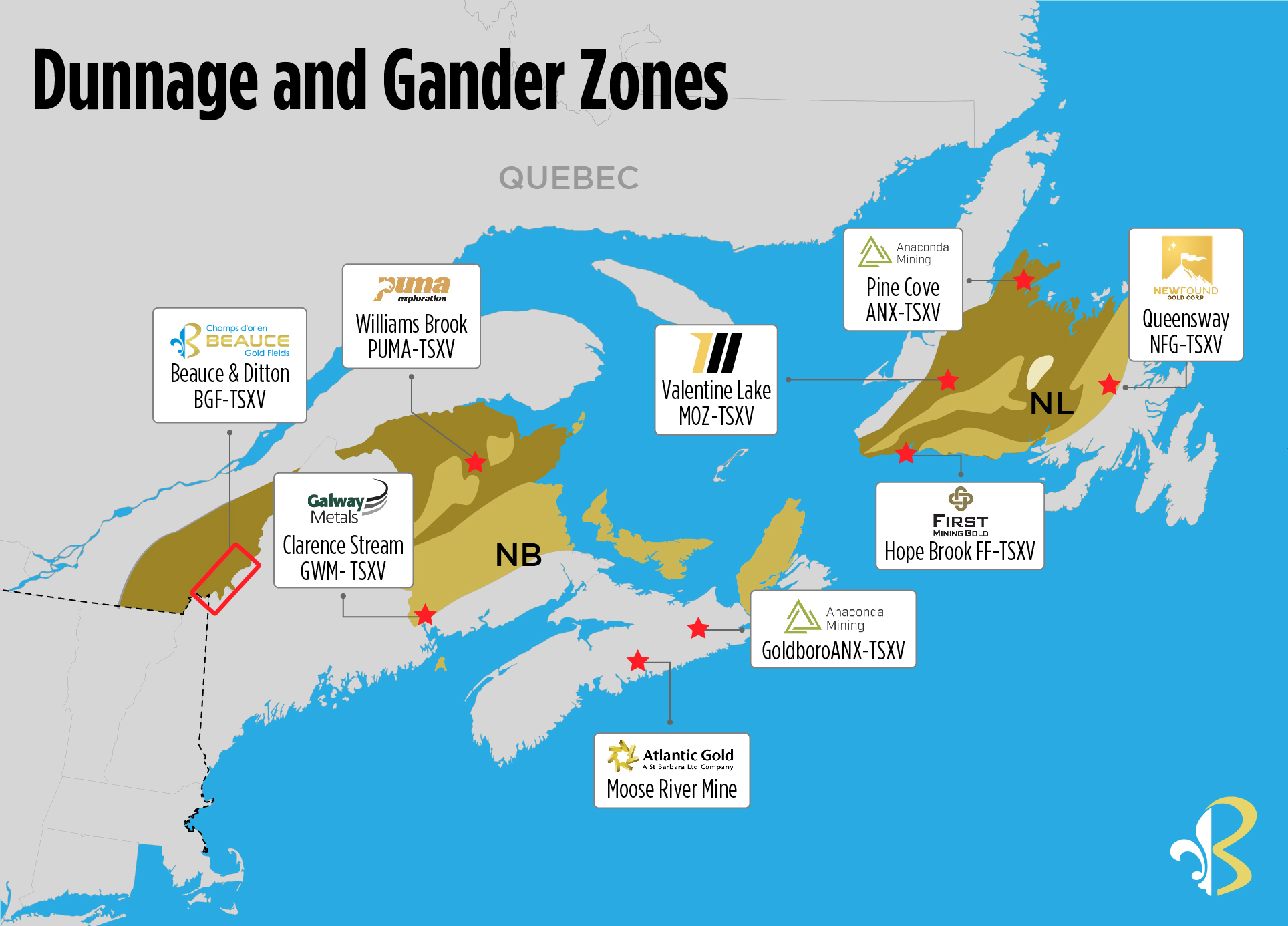
The Beauce gold sector straddles two of the major tectonostratigraphic subdivisions of the Appalachians. The latter is the Gander zone to the northwest and that of Dunnage to the southeast.
Several large gold systems have been identified along this structural zone, including New Found Gold’s Queensway gold project and Calibre’s Valentine Lake Deposit in Newfoundland.
Antiform Saddle Reef Structures
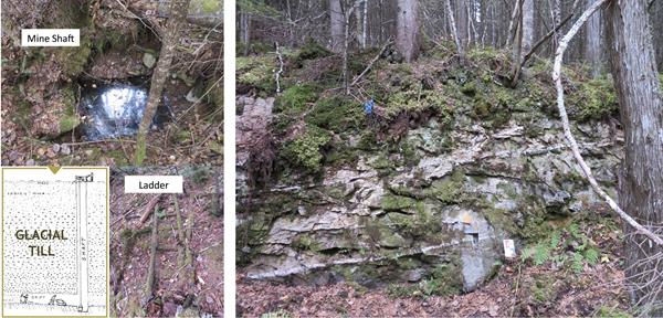
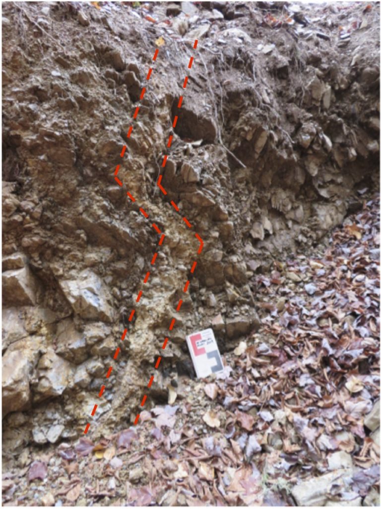
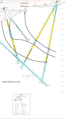
The Company’s geological model suggests that placer gold within the Beauce Gold paleochannel, including the renowned large nuggets from the 19th century, formed in stressed quartz pockets within layered domed Axis of Antiforms, exemplified by Saddle Reef formations.
Notable global Saddle Reef formations include the Bendigo gold fields in Australia (over 60 million ounces) and the high-grade Dufferin deposit in Nova Scotia.
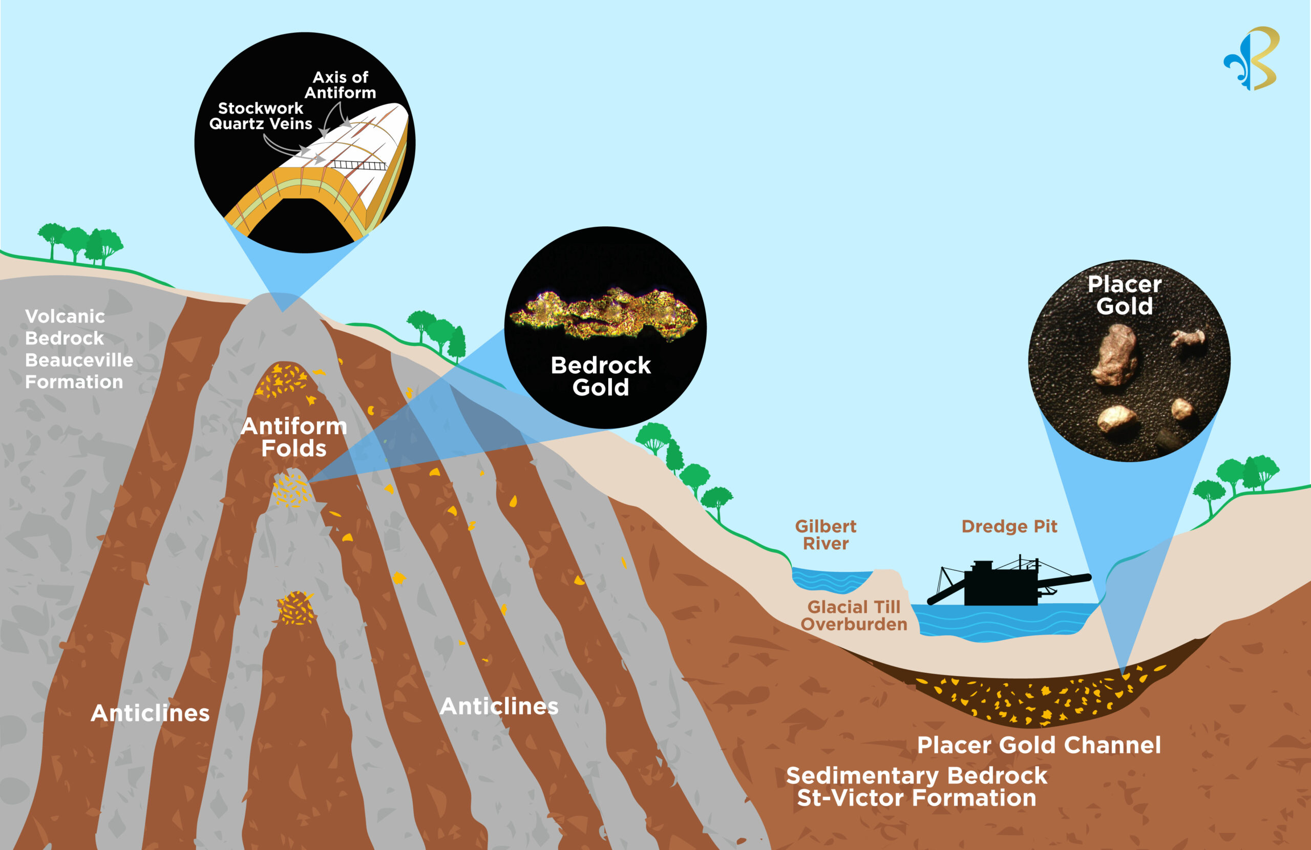
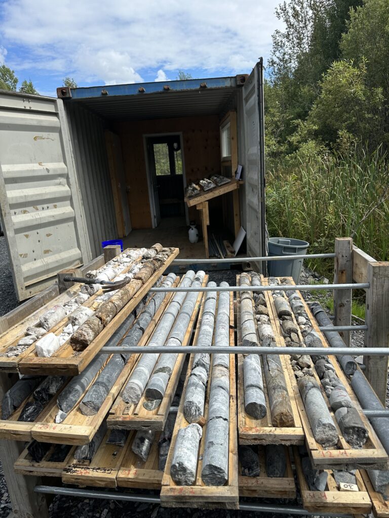
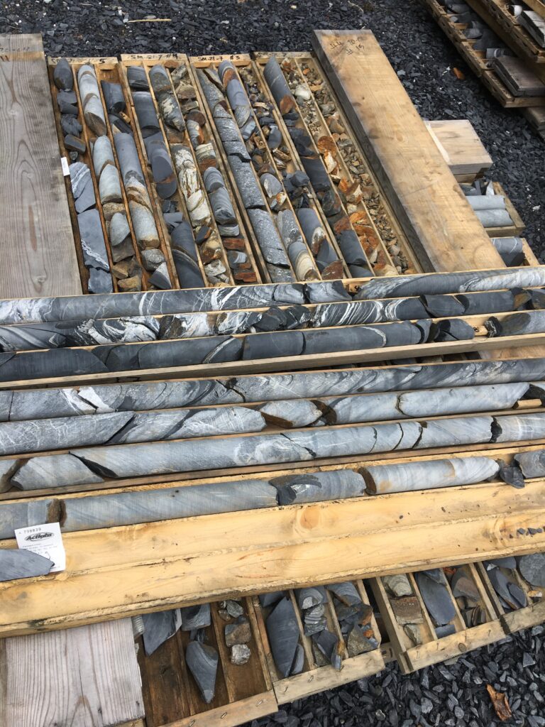
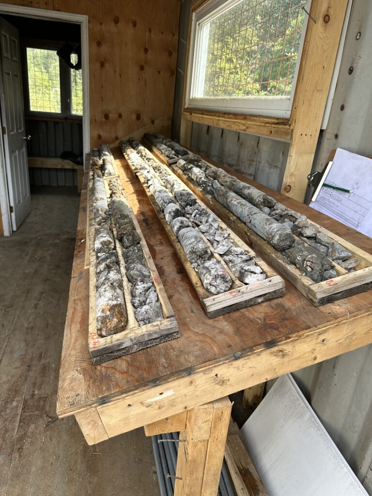
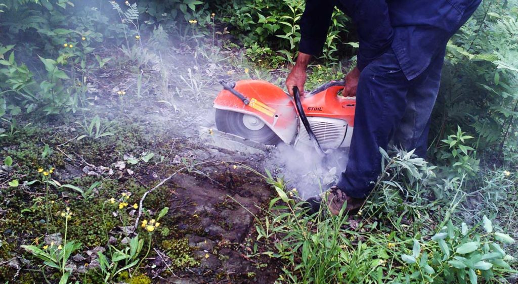
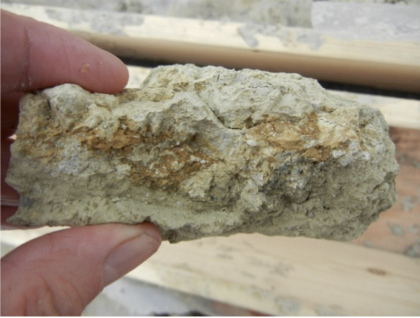
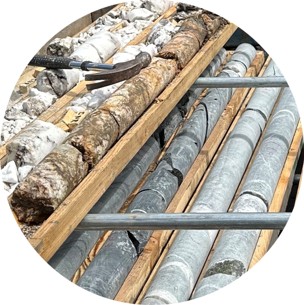
The drilled mineralized gold zones occur as stockworks within felsic lapilli tuff along the axes of antiform folds. They are also found in volcaniclastic rocks, specifically within crack-and-seal-type quartz veins, which can exceed 10 meters in width at the apex of these folds.
Lode Gold Exploration
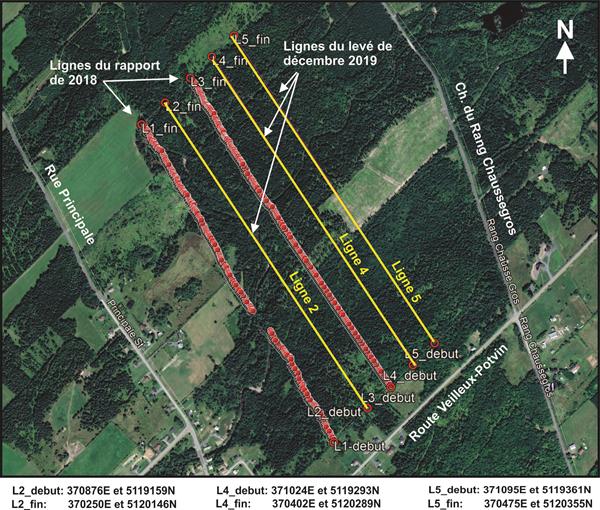
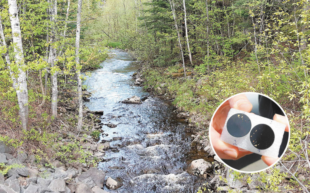
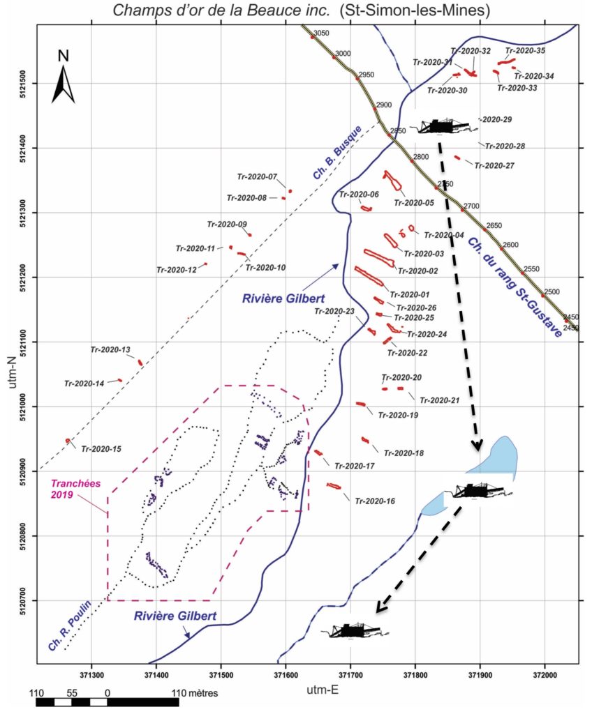
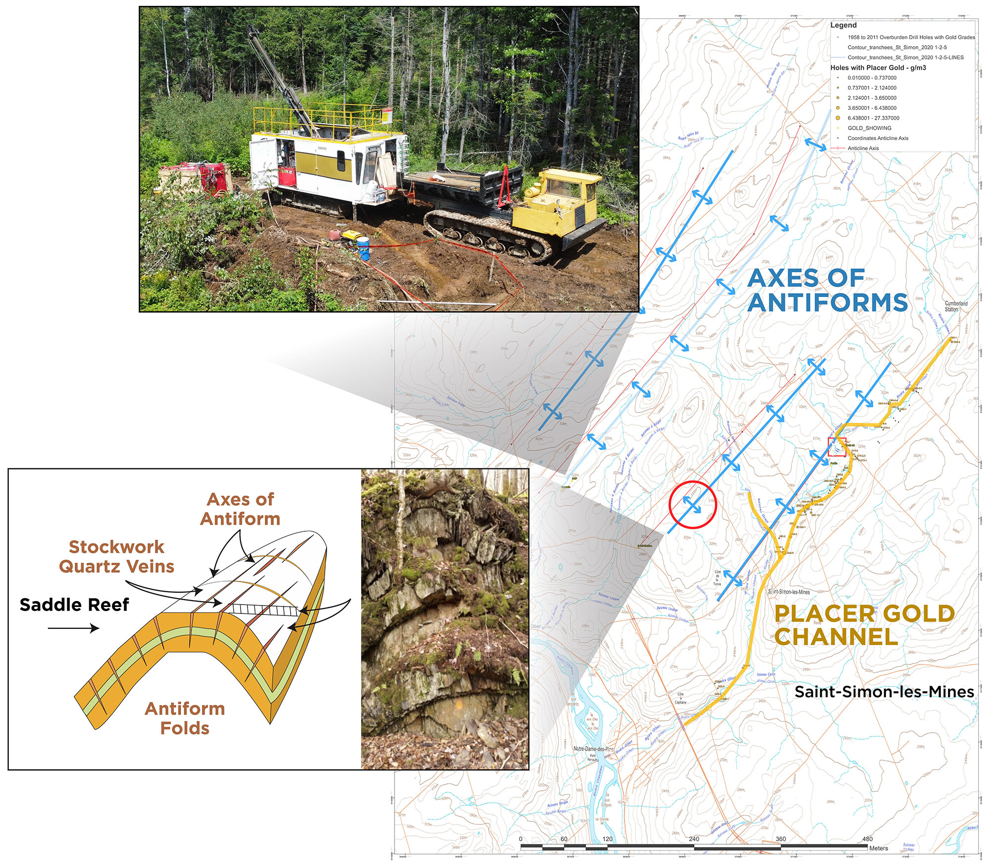
Four Antiform structures have been identified and traced for 8 km to the North of the historical placer gold channel of the Gilbert river valley.
Placer Gold Exploration
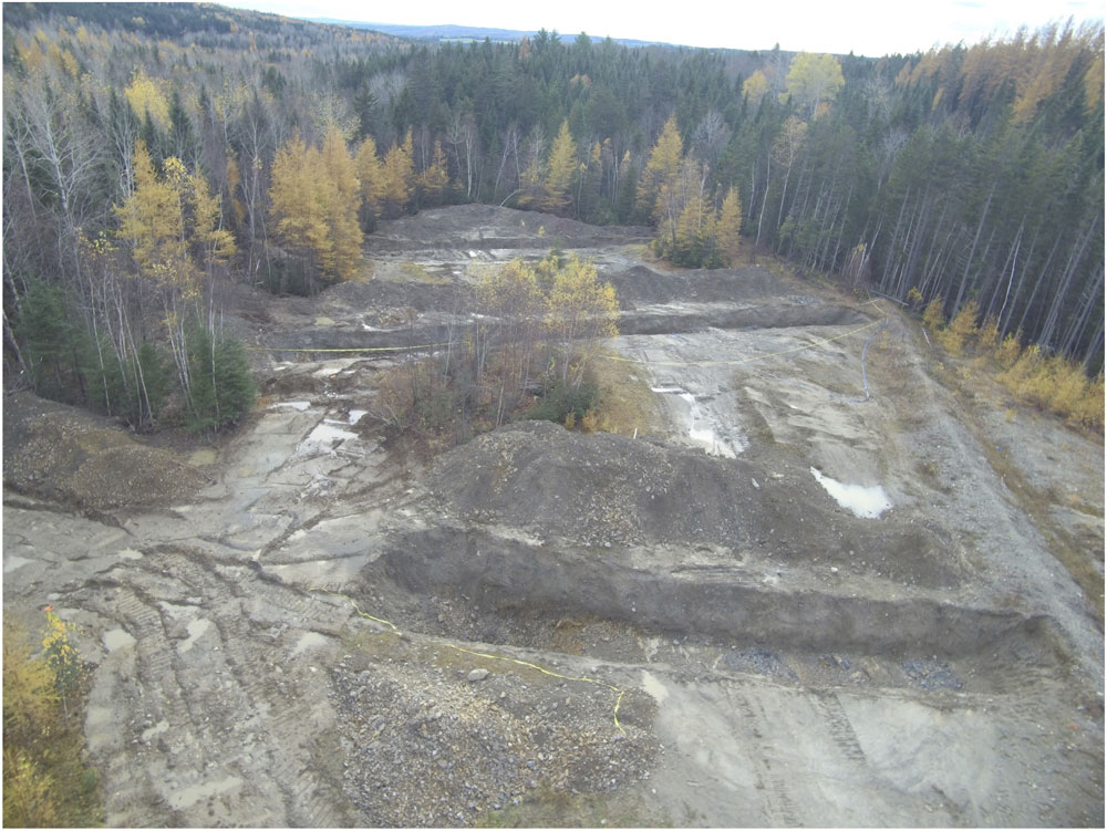
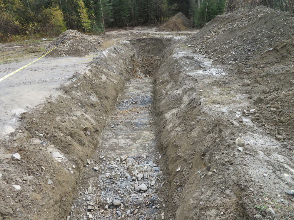
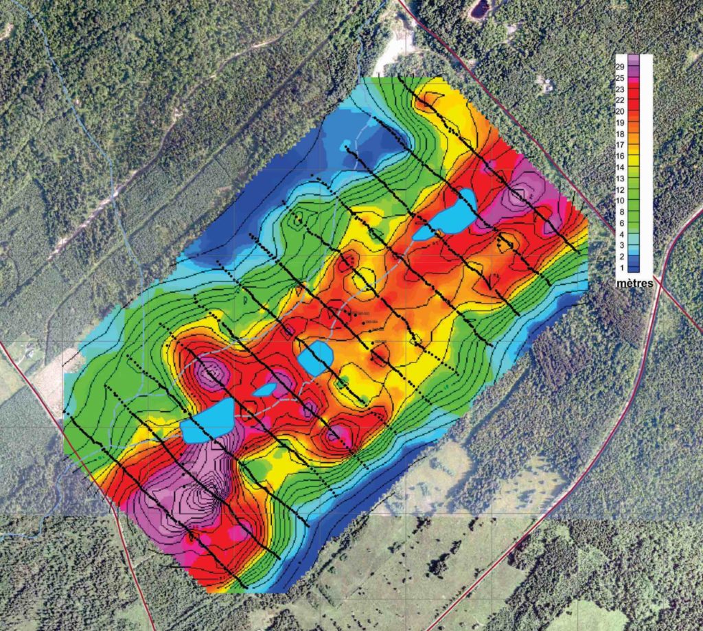
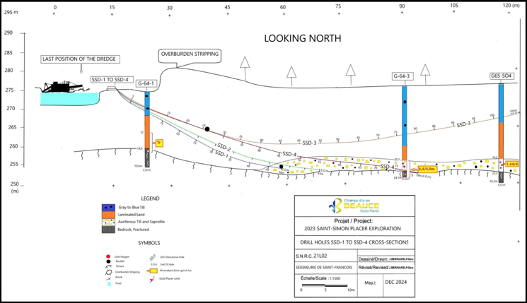
The Beauce Gold property holds the largest historical placer gold deposit in eastern north America. The placer gold deposit sits in units of saprolite and a diamictite (auriferous) till covered by a thick glacial till overburden.
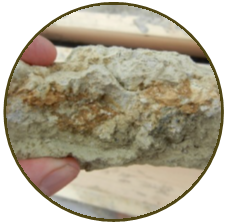
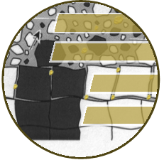
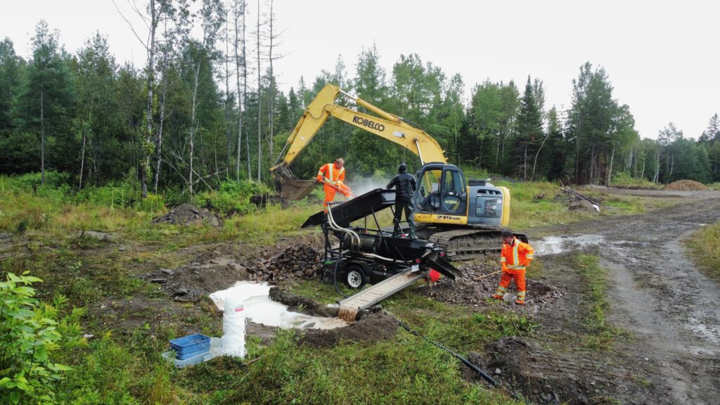
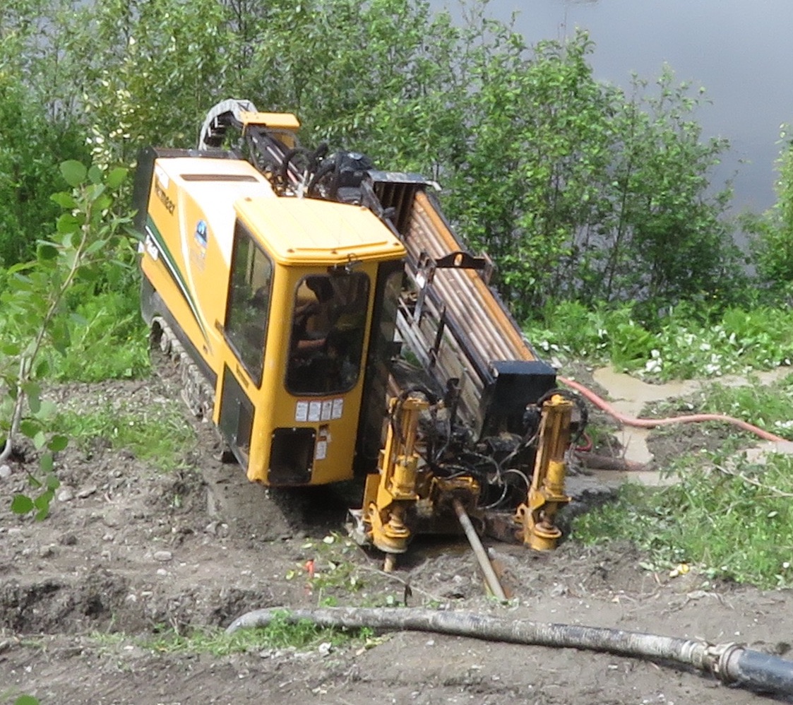
The Company’s ongoing exploration work aims to expand the historical placer gold deposit defined as a Gold Exploration Target. Recent studies suggest that the auriferous till and saprolite units within the placer channel are thicker, broader, and more extensive than previously estimated.
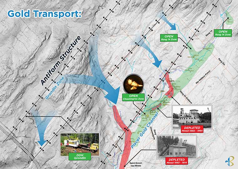
The Gold Exploration Target for the entire historical placer channel ranges between 61,000 ounces (2,200,000 m3 @ 0.87g Au/m3) and 366,000 ounces* (2,200,000 m3 @ 5.22 g Au/m3) *source: Beauce NI43-101 Technical Report 2018.
Silver - Ag
The Beauce property also demonstrates a potential for silver deposits.
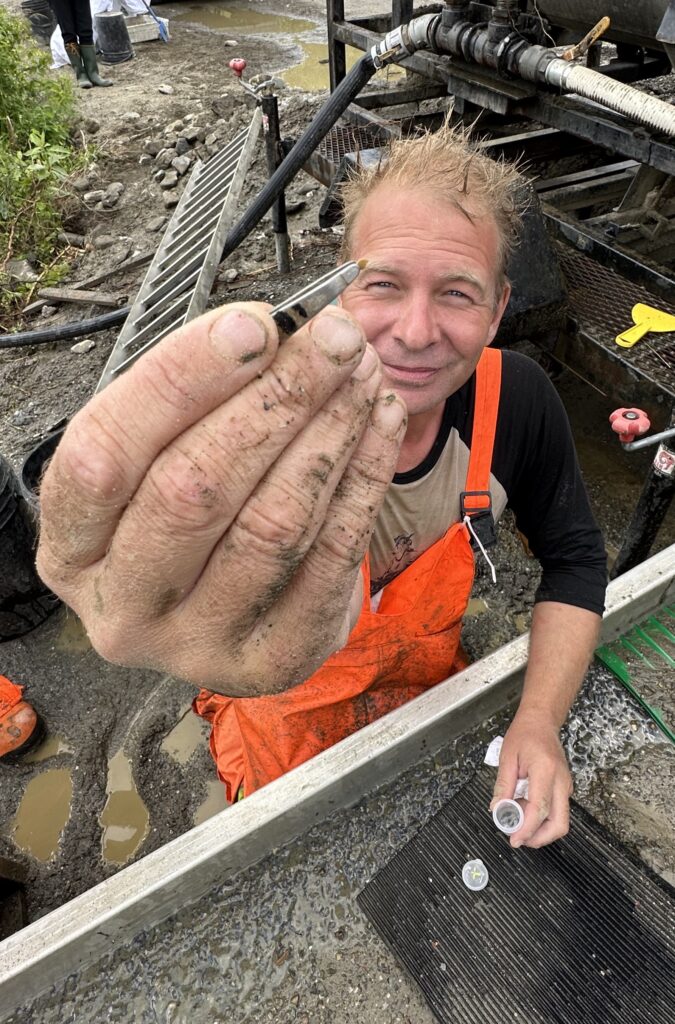
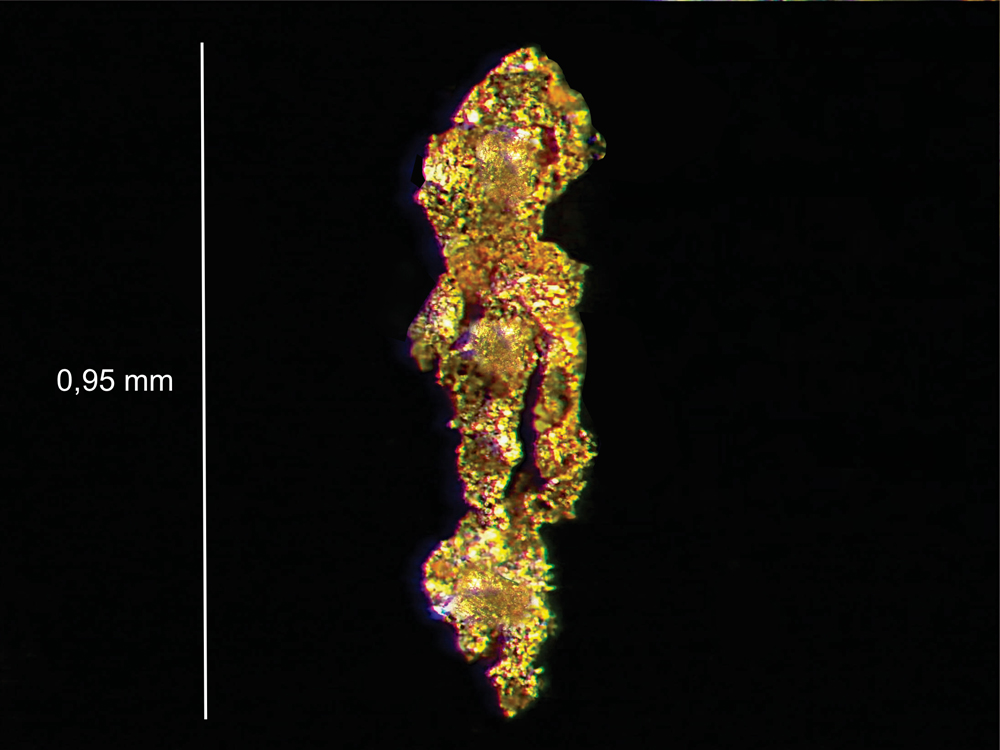
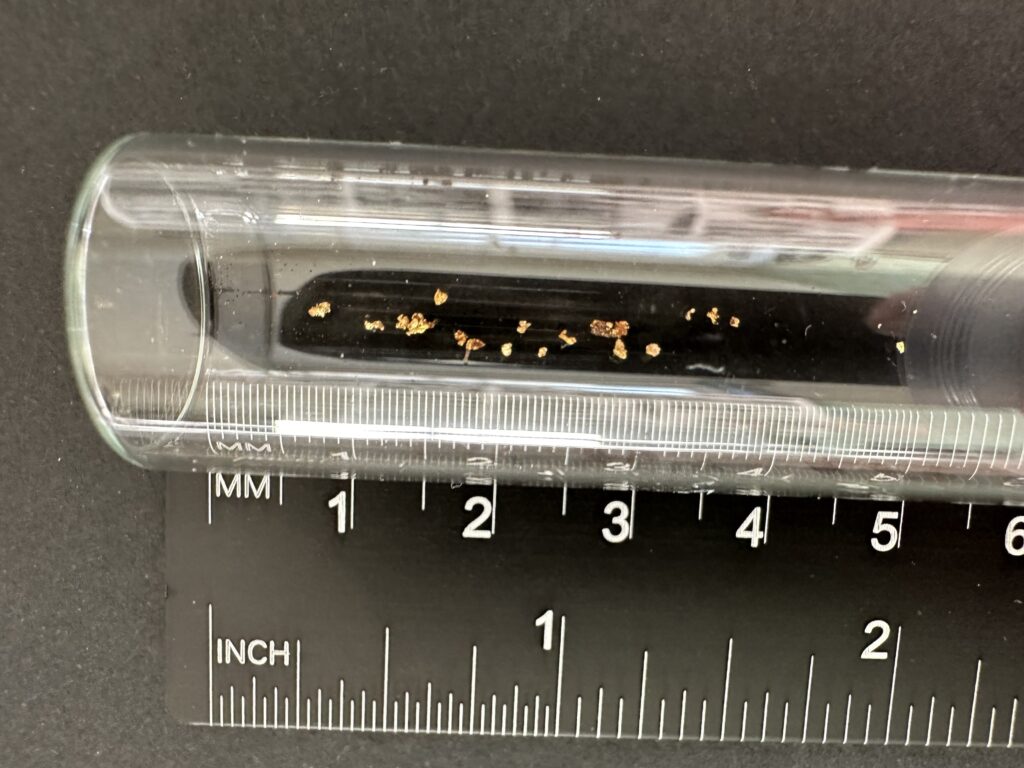
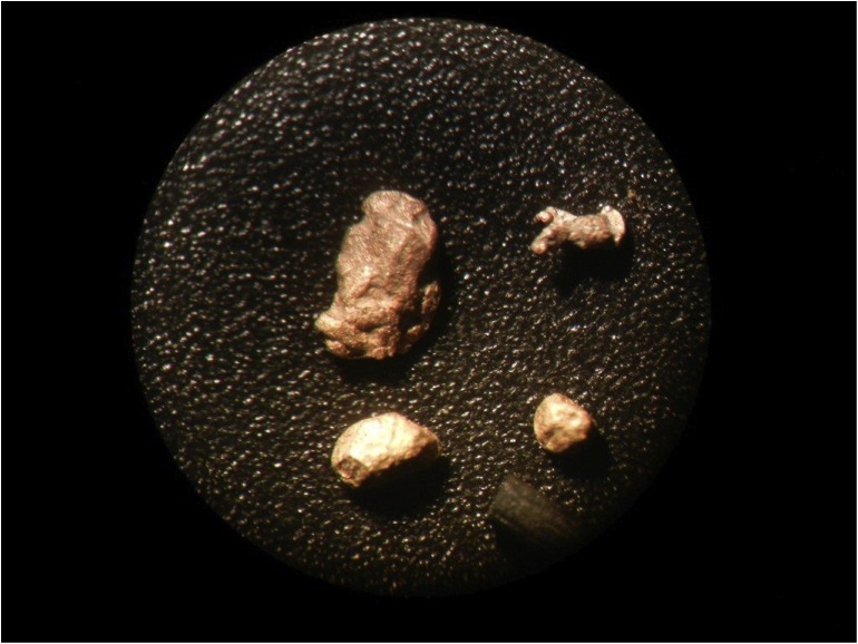
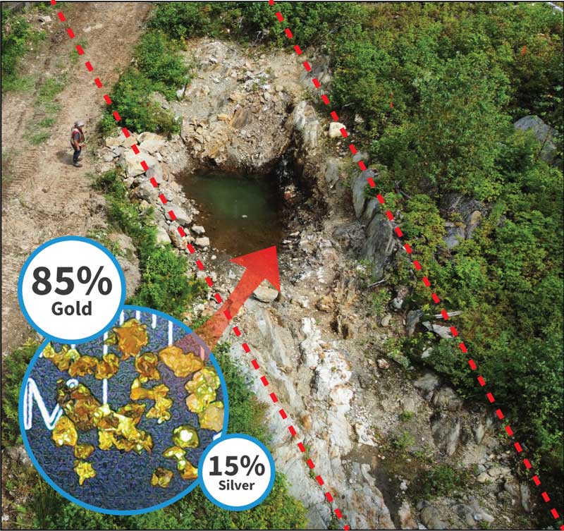
Gold grains grains from the Grondin antiform outcrop contain an average of 15% silver, a composition comparable to historical placer gold mining operations which recorded silver-to-gold ratios ranging from 12.54% to 13%.
Additionally, drill core samples from mineralized zones in the antiform structure have reported anomalous silver levels, with a silver-to-gold ratio of 23.68%. These findings suggest that silver is present both in bedrock and placer gold, reinforcing the potential for silver mineralization in the Beauce Gold property.
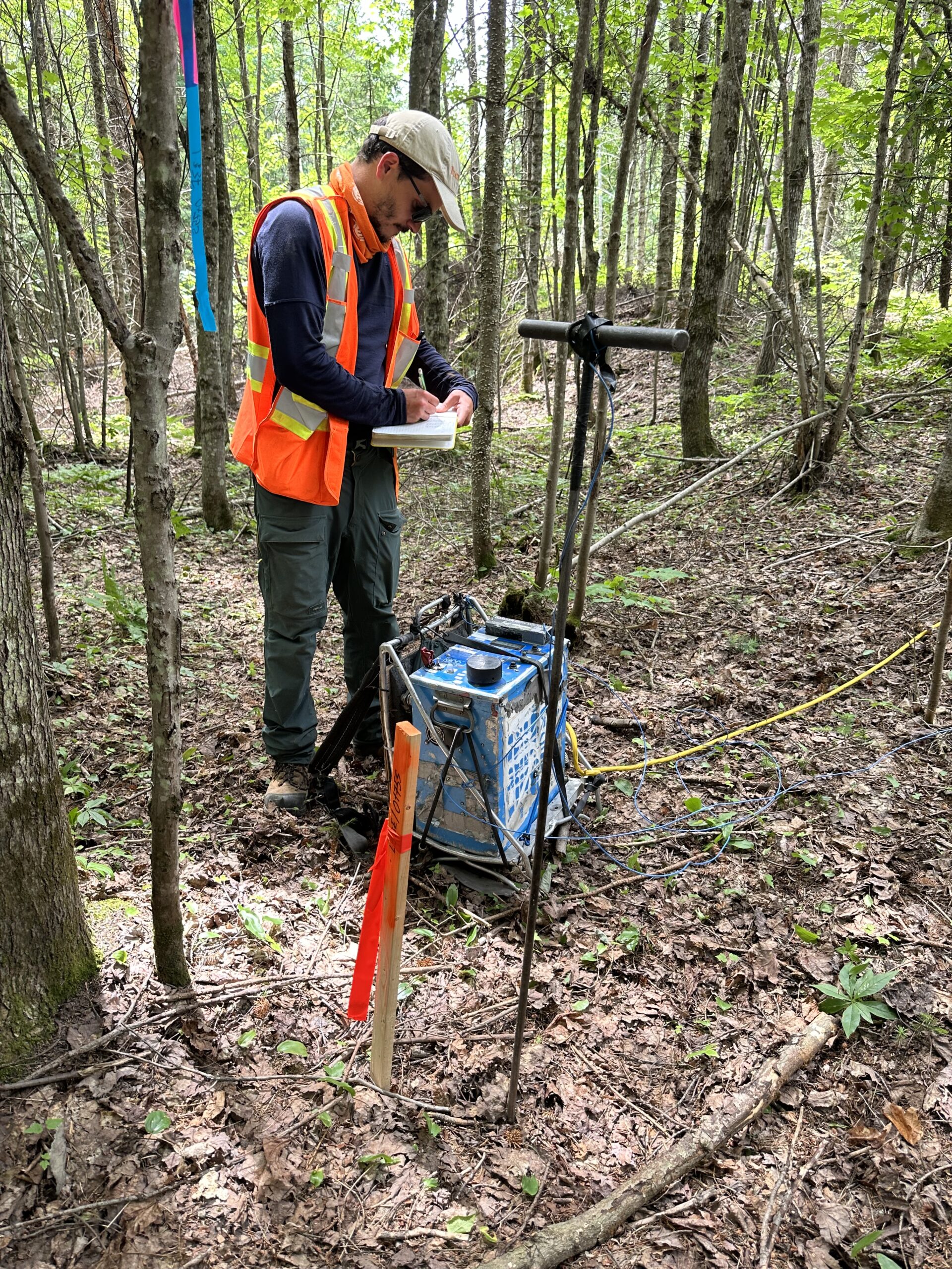
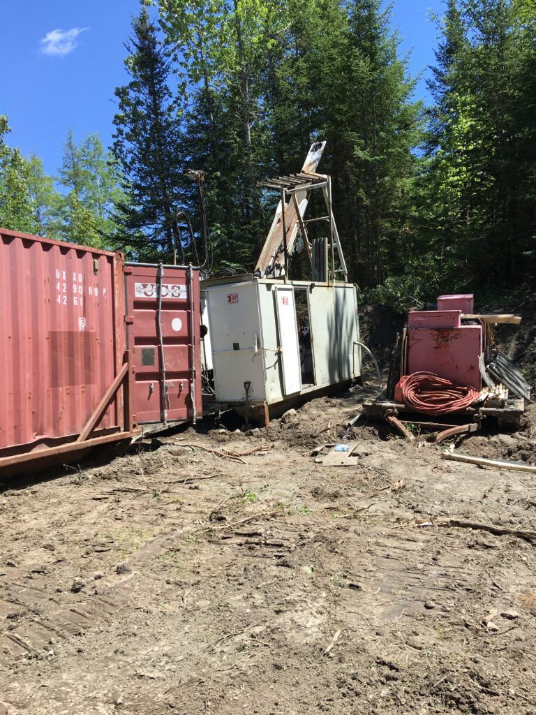
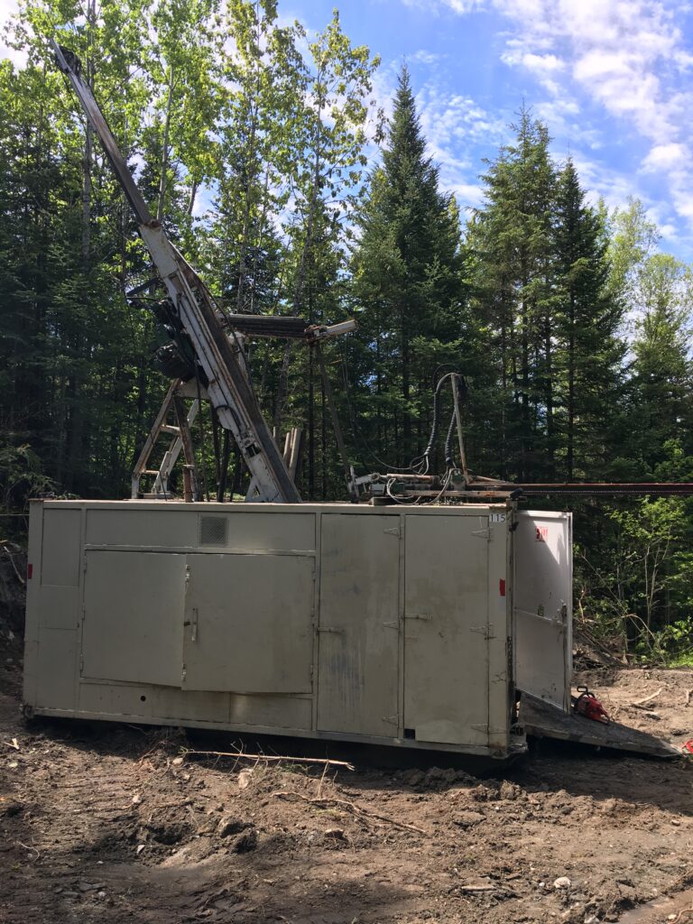
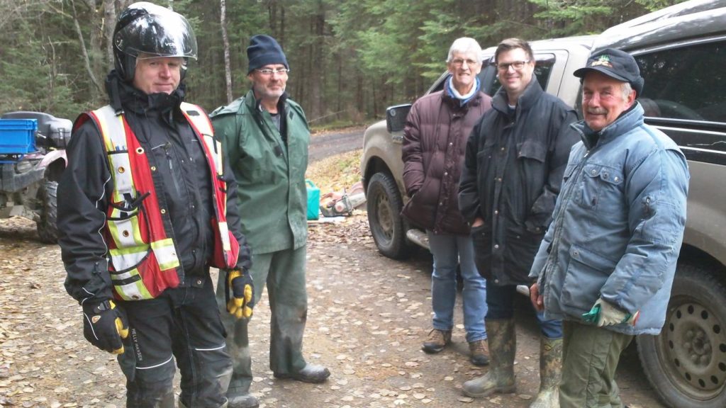
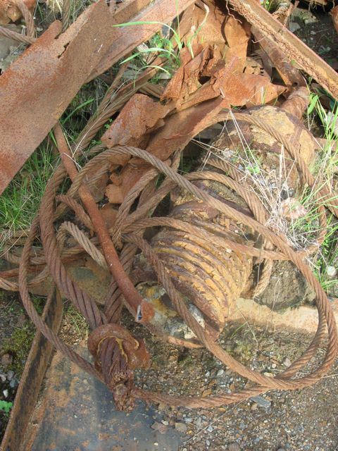
Recent Work Images
(click to enlarge)
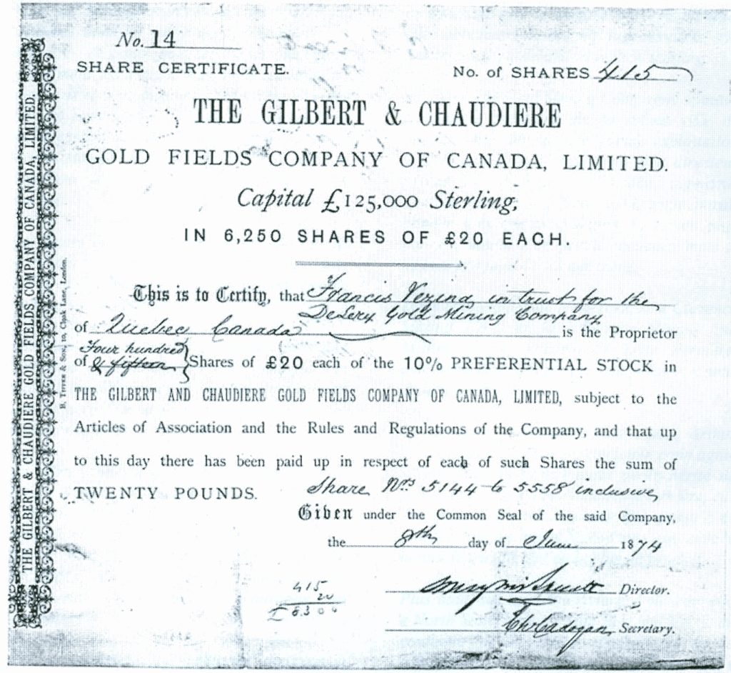
Historical Images
(click to enlarge)
All information such as resources estimates and grades herewith presented is historical in nature and while relevant, the information was obtained before the implementation of National Instrument 43-101 and as such does not meet National Instrument 43-101 reporting standards. The historical estimate should not be relied upon until the Company can confirm them.


